

Weisse Wand
Description
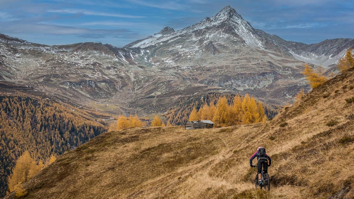
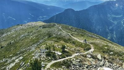
The starting point is the village of Sand in Taufers. From here, the cycle path runs parallel to the main road and winds its way deeper and deeper into the Ahrntal valley. The Ahrntal is one of the northernmost valleys in Italy and is only a few meters away from the Austrian border. In this manner, the route continues along side roads and feeder roads through hamlets until after the church of St. Peter, the route climbs relatively steeply uphill on gravel to the Hasentalalmen. The Hasentalalmen are located below the Ochsenlenke, a former military crossing from the Knuttental into the Ahrntal and directly at the stage finish of the Weiße Wand. From here, the bike is only pushed/carried to the highest point of the tour at over 2500 meters above sea level. The ascent is somewhat strenuous in places and you definitely need good surefootedness and alpine experience to master the uphill. At the top, you have a wonderful view of the Knuttental valley, the Rieserferner group, the Magerstein and the other striking peaks in this area.
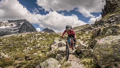
The descent is a good mix of difficulty levels S2 and S3 down to the Durra Alm. From the Durra Alm, the route then crosses a typical trail that is characteristic of this area (stone slabs, roots, constant width) and crosses the entire slope to above Rein in Taufers. Passing through Rein in Taufers, along the Reinbach stream, you then briefly take the main road, somewhat unspectacularly, and roll down it. There is no real alternative for this section without a counter-climb. In the area of the Franziskusweg, the route continues along the main road for a few meters before turning right onto an old mule track and following it steadily down to Sand in Taufers. Difficulty here, S1 to S2. All in all, a long, very demanding, but absolutely epic tour that is not really known among mountain bikers.
Note: If you are planning to do the tour with an e-bike, only a light e-bike really makes sense here, as the pushing section or the carrying section up to the Weiße Wand transition should not be underestimated.
Map & GPX-Track
The map is only available to Ride subscribers.
The Ride-Subscription is available at ride-mtb.com/abo
.
Details of the tour
47 km
1650 m
1650 m
877 above sea level
2479 above sea level
1 day
Sand in Taufers
Sand in Taufers
2755
not suitable
More information
More tours nearby










User comments (0)

About the author: Martin Depauli
Note: This content has been automatically translated from German. Please report any incorrect translations.