

Blauspitz

Description
The tour starts in the hamlet of St. Peter in the Ahrntal Valley. From here, the route first climbs steadily uphill on the so-called Schattenbergstraße - initially on asphalt, later on gravel. The trail rides through fairytale spruce and larch forests, which, in combination with the agricultural surroundings, exude a special charm. A highlight on this section is the Pürschtalmoos biotope, which is idyllically nestled and forms a charming contrast to nature with its agricultural buildings.
From the biotope, the bike is shouldered or pushed as you work your way up to the Blauspitz at almost 2600 m above sea level via the Joch. The summit cross with an edelweiss marks the highest point of the tour. From here, there is an impressive panorama with a strong Western Alps flair, which impressively underlines the proximity to the Austrian border.
The descent
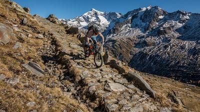
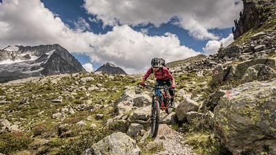
The descent begins on a narrow path, which initially features hairpin bends. This rides towards Lutterkopf and further north. The trail is partially exposed and ranges between difficulty levels S2 and S3. A good command of the hairpin bend technique, in particular shifting the rear wheel, is an advantage here.
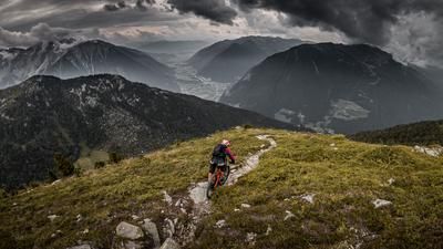
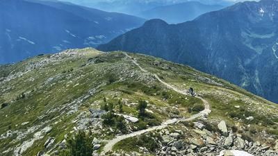
Further on, the trail becomes smoother in sections, but always contains key sections that require concentration and technique. You gradually reach wooded areas, where the trail gradually becomes easier. Finally, the route rides steadily downhill back into the Ahrntal valley. You end on the main road and roll the last few meters relaxed back to the starting point in St. Peter.
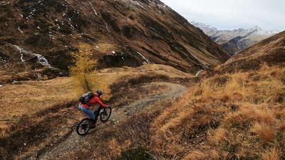
Note: The tour is particularly attractive in autumn, as the colouring of the larches and the clear distant views unfold their charm. However, the tour should not be undertaken too late in the year, as the north-facing slope can be slippery in shady sections.
Map & GPX-Track
The map is only available to Ride subscribers.
The Ride-Subscription is available at ride-mtb.com/abo
.
Details of the tour
18 km
1260 m
1260 m
1243 above sea level
2489 above sea level
Sankt Peter im Ahrntal
Sankt Peter im Ahrntal
3363
not suitable
More information
More tours nearby










User comments (0)

About the author: Martin Depauli
Note: This content has been automatically translated from German. Please report any incorrect translations.