

Ochsenlenke

Description
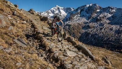
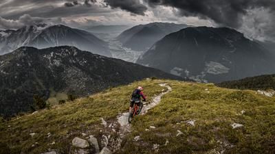
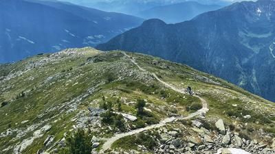
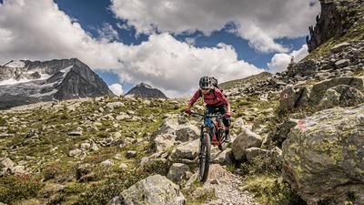
This giant tour starts in Sand in Taufers, although it should be noted in advance that a shuttle cab or public bus can be taken to Rein in Taufers (1542 meters above sea level). This reduces the total distance considerably. For all those who want to complete this tour by pedaling, the main road leads the way. From Rein in Taufers, the route climbs steadily up the Knuttental valley on the gravel road, past the Knuttenalm and at the junction towards Klammljoch to the Ochsenlenke. From this junction, however, the uphill becomes increasingly challenging and steep. E-mountain bikers clearly have the edge here and can ride all the sections up to the saddle. "Organic bikers" will lose a drop or two of sweat and have to push or carry the bike in places. Once you reach the Ochsenlenke, the mountain panorama is unparalleled. In good weather, you can see as far as the Magerstein and the Rieserferner group, as far north as the Löffelspitze and Napfspitze.
Starting at a difficulty of S1 throughout and S2 in places, the downhill trail feels like it goes on forever until you reach the Hasentalalmen (2165 meters above sea level). The feeder road, a wide forest trail, is taken for a short time before continuing on the 11A trail to the Alprechtalm (2006 meters above sea level). Although the trail has a maximum difficulty of S2, it is quite exposed in some places and should be ridden with caution. From the Alprechtalm, the trail continues on difficulty level S2 down to the hamlet of Steger at around 1500 meters above sea level. The 3A trail features a trail finale before you reach the main road in the Ahrntal. The entire Ahrntal valley alternates between cycle paths and short trail sections back to Sand in Taufers, 95 percent downhill and 5 percent uphill.
Map & GPX-Track
The map is only available to Ride subscribers.
The Ride-Subscription is available at ride-mtb.com/abo
.
Details of the tour
53 km
1765 m
1765 m
875 above sea level
2571 above sea level
1 day
Sand in Taufers
Sand in Taufers
2099
well suited
More information
More tours nearby










User comments (0)

About the author: Martin Depauli
Note: This content has been automatically translated from German. Please report any incorrect translations.