

Gornerjoch

Description
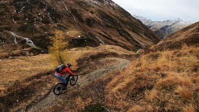
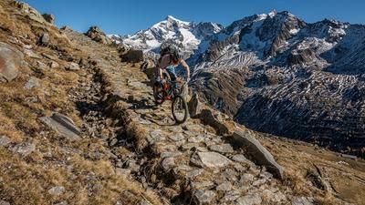
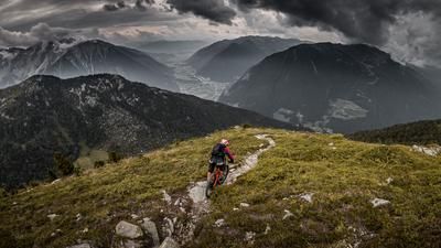
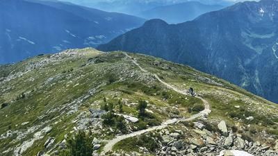
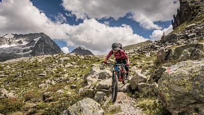
You start in Sand in Taufers, initially meandering along the cycle path towards Luttach and on towards Weißenbach. Up to this point, you have little idea of what lies ahead. It should be said in advance that e-mountain bikers and above-average fit biobikers will have even more fun on this tour, as the last section is steep and rough. From Weißenbach, the route heads towards the Pircheralm, leaving the forest path shortly before the Pircheralm (1800 meters above sea level) and taking a supply route from the Second World War in the Vallo Alpino. Initially relatively steep, later with countless hairpin bends, you wind your way up to the Gornerjoch (2277 meters above sea level). To the north, the Schwarzenstein on the Austrian-Italian border greets you and to the south, you have a view of the Dolomites.
The descent itself is similar to the ascent and mostly follows historic paths, with a difficulty rating of S2. The descent winds its way down to Mühlwald and ends in Außermühlwald am See. From here, you briefly take the rather unspectacular main road, with a trail section in the last section in the Moserstöckl area towards Mühlen in Taufers. For the remaining few meters, the tour follows the cycle path back to Sand in Taufers. Conclusion: All in all, a perfect mix of a rather technical uphill, an eternally long trail descent and alpine flair - all packed into a one-day tour.
Map & GPX-Track
The map is only available to Ride subscribers.
The Ride-Subscription is available at ride-mtb.com/abo
.
Details of the tour
35 km
1410 m
1410 m
868 above sea level
2268 above sea level
1 day
Sand in Taufers
Sand in Taufers
2120
well suited
More information
More tours nearby










User comments (0)

About the author: Martin Depauli
Note: This content has been automatically translated from German. Please report any incorrect translations.