

Obersteiner Holm

Description
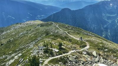
The tour starts in Sand in Taufers and doesn't look too bad at the beginning. Up to Oberpojen, it is a leisurely ride along the asphalt road. You gain height and have a view towards Bruneck and the Ahrntal mountain ranges. At Oberpojen, it's time to show your calves no mercy. From Oberpojen in the direction of Pojenalm, a mercilessly steep forest path awaits. However, in the area of the Stiegerwiese, the bike is no longer pedaled, but is now placed on the shoulders. On foot, follow the hiking trail up to the Obersteiner Holm. Alternatively, you can reach the summit via the Pojenalm and the Durrecker Höhenweg. Both options are possible, but the first is a little shorter. And the same applies to both: no pain, no gain. The prize is an alpine bike feeling in a massive mountain world and makes the biker's heart beat faster.
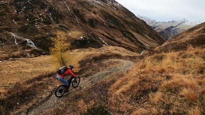
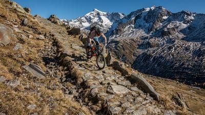
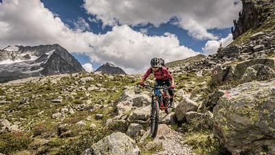
From the Obersteiner Holm, the route first descends almost endlessly and steeply down the hiking trail to Oberpojen on S2 (maximum S3). From Oberpojen, the path becomes a little easier and you surf on S1 to S2 to the alpine pastures to Unterpojen. At the farm, the trail is somewhat difficult to recognize, but well marked and reaches its brilliant trail finale in the forest. At S2 level, you surf through the last forests on partly walled, historic paths back to the Arnthaler Bundesstrasse before rolling out onto the cycle path and a few trail sections to Sand in Taufers and ending the day comfortably with a nice coffee. It is also an ideal tour in autumn, as the sunlight is perfect due to the westerly slope and the ground is therefore dry and very grippy.
Map & GPX-Track
The map is only available to Ride subscribers.
The Ride-Subscription is available at ride-mtb.com/abo
.
Details of the tour
22 km
1515 m
1515 m
875 above sea level
2373 above sea level
1 day
Sand in Taufers
Sand in Taufers
2044
not suitable
More information
More tours nearby








User comments (1)

About the author: Martin Depauli
Note: This content has been automatically translated from German. Please report any incorrect translations.
I rode the tour on 20.07.24. The road up to Oberpojen is easy and the traffic is limited. From then on it gets mercilessly steep. It's no shame to push the bike :D You have to earn the climb here, but you'll be rewarded with a magnificent panorama! I would give it at least 5 points in the rating.
The trail is really fun and has everything to offer.
- The 1st part to Oberpojen is technical and steep.
- 2nd part you can really let it run and you just fly over the trail
Caution: From the forest road there is a no cycling sign. On the way up, however, I ran into one or two alpine farmers and everything was fine. Maybe they just want you to push your bike up...