

Kellerbauer-Weg – Sonnklar Nock

Description
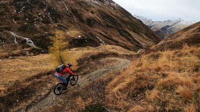
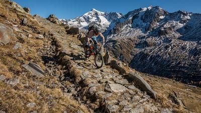
The tour begins with a feat of strength: Almost 1600 meters in altitude from the valley floor of the Ahrntal up to the culmination point at Gornerberg. You start by climbing up through the Mühlwald valley until the little road branches off to the right at the Auer Stöckl to the numerous farms. If you opt for a shuttle, you can drive up to the Steinerhof at 1640 meters above sea level. This saves around 800 meters in altitude, i.e. half of the ascent. After the Steinerhof, the route changes to the gravel road up to the Foreralm. And if the ascent wasn't hard enough, you have to push your bike from here to the Wurmtaler Jöchl. This is followed by a short descent before heading straight into the next ascent. A single trail leads up to the Fadner Jöchl - technically mostly rideable, provided there is still plenty of strength in your calves. Meanwhile, you are on the legendary Kellerbauer trail, which rides past Speikboden to Sonnklar Nock. The path is initially technical, with a few stretches of pushing, from where it is always worth looking back. Opposite you, the magnificent southern flanks of the Zillertal Alps tower into the sky: Hochfeiler, Grosser Möseler, Schwarzenstein, Grosser Löffler, all of which stand opposite you in a row.
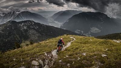
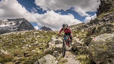
The further you follow the Kellerbauer trail, the smoother it becomes. From the Mühlwalder Jöchl, it is almost suitable for sandals, which plays into our cards. Because we have to climb a bit again to reach the mountain station of the Speikboden chairlift and, a little further on, the summit of Sonnklar Nock. The summit is not only worthwhile for the magnificent view of the Ahrntal valley, but also because of the singletrail descent that now awaits. This leads smoothly and fun over the ridge to the east, then turns off to the Trejer Alm and ends in a 1100-metre singletrail and serpentine bouquet down to Sand. This final section is without any major technical challenges, which is not inconvenient considering the ascent that has been completed.
Map & GPX-Track
The map is only available to Ride subscribers.
The Ride-Subscription is available at ride-mtb.com/abo
.
Details of the tour
37 km
1745 m
1745 m
850 above sea level
2433 above sea level
1 day
Sand in Taufers
Sand in Taufers
1982
limited
More information
More tours nearby








User comments (0)

About the author: Thomas Giger
Note: This content has been automatically translated from German. Please report any incorrect translations.