

Ahrner Kopf

Description
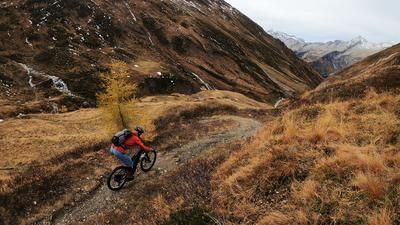
The starting point of the tour is the rear Ahrntal valley near Kasern. From the hut at the end of the valley, the route climbs steadily on gravel with a moderate to medium gradient. Via the Labesaualm, the route continues along an old mule track towards the Lenkjöchlhütte. The ascent is homogeneous throughout and technically not very demanding; in the Windtal valley, some passages are even still rideable.
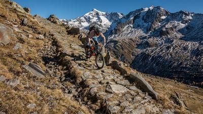
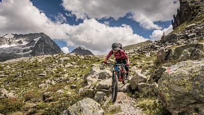
Shortly before the Lenkjöchlhütte, you branch off towards Vorderes Umbal-Törl or Ahrner Kopf. From here it's time to go: Shoulder your bike! Carry your bike up through massive rock formations. At almost 2900 meters above sea level, you can decide whether the Vordere Umbal-Törl is enough for the day or whether you want to take the detour to the Ahrner Kopf.
For the route to the Ahrner Kopf, you have to plan further carrying passages above the junction - both uphill and downhill. These can vary greatly in difficulty depending on the weather and heavy rain. However, the route is doable for experienced mountain bikers with good surefootedness and a head for heights. The final ascent over the ridge to the Ahrner Kopf at 3051 meters above sea level is a pleasure: the panorama on the state border between South Tyrol and East Tyrol, with a view of the Westliche Simonyspitze and the surrounding glaciers, is simply breathtaking.
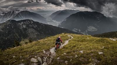
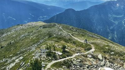
The descent begins challenging: between S3 and S4, you follow the ridge back to the carrying passage. After that, the trail remains technically challenging - exposed and with some very difficult sections, where the bike also has to be pushed in some sections. Once back at the Lenkjöchlhütte, the trail gradually becomes easier and leads through the Windtal valley back to the Ahrntal valley and the starting point on difficulty S2-S3.
Conclusion: A long, impressive and physically demanding tour for technically experienced mountain bikers who are not afraid of alpine carrying passages.
Note: Alternatively, the descent can also be made via the southern variant from the Lenkjöchlhütte to ride south of Kasern into the Ahrntal valley.
Map & GPX-Track
The map is only available to Ride subscribers.
The Ride-Subscription is available at ride-mtb.com/abo
.
Details of the tour
18 km
1360 m
1360 m
1623 above sea level
2952 above sea level
1 day
Kasern
Kasern
3522
not suitable
More information
More tours nearby










User comments (1)

About the author: Martin Depauli
Note: This content has been automatically translated from German. Please report any incorrect translations.
From altitude 2550 it only makes sense to cross the border. From a technical point of view, it is not very feasible for mere mortals up to/from the summit. Except for the upper meters on the ridge and a short stretch in the middle section ;-). Rather something for bike and hike. The mentioned descent into the southern Röttal is the much more difficult descent variant, relatively technical and blocked, as a supplement to the text.