

Klammljoch

Description
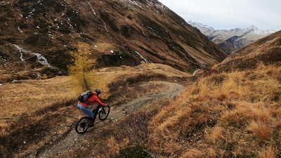
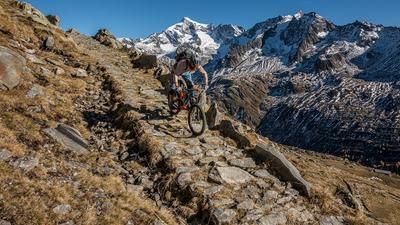
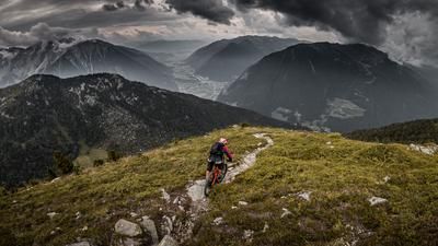
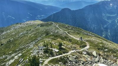
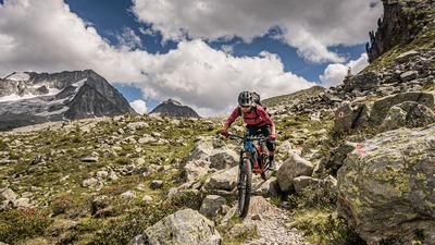
The tour starts at the public parking lot at the entrance to the Knuttental valley. From here, the route climbs moderately along the gravel road to the Knuttenalm. Here you already have a legendary mountain panorama in the border area between Italy and Austria. From the Knuttenalm, the route continues at the same gradient up to the Klammlsee and on to the Klammljoch. Here you have reached the Italian-Austrian state border and will find relics from the Second World War time and again. Directly at the pass, the route follows a rather unknown path to the left, climbing almost 100 meters in altitude to the Bichler Hütte before reaching the high point of the tour from the ruins of the Vallo Alpino. An unbeatable mountain panorama from the Rieserferner National Park to the Venediger group and a panoramic view as far as Rein in Taufers invite you to enjoy a summit snack.
Return along the ascent route, but from the Klammlsee lake, take the trail cut-offs from the ascent road, all with a difficulty of S1 to S2. At the turn-off towards Ochsenlenke, follow this and climb the road for around 100 meters uphill. From here, follow the old military path down to the Knuttenalm. You should definitely plan time for a stop at the Knuttenalm. Perfect, traditional delicacies with a cozy hut flair should not be missed. Strengthened, the trail climbs around 250 meters uphill to the Durraalm (2096 meters above sea level). The path has been partially repaired, but it is only partly rideable. The descent here is along the alpine path with a difficulty level of S2 and sometimes S3 back to the starting point.
Map & GPX-Track
The map is only available to Ride subscribers.
The Ride-Subscription is available at ride-mtb.com/abo
.
Details of the tour
17 km
850 m
850 m
1698 above sea level
2357 above sea level
1 day
Rein in Taufers
Rein in Taufers
2098
well suited
More information
More tours nearby










User comments (0)

About the author: Martin Depauli
Note: This content has been automatically translated from German. Please report any incorrect translations.