

Gampiel Alm
Description
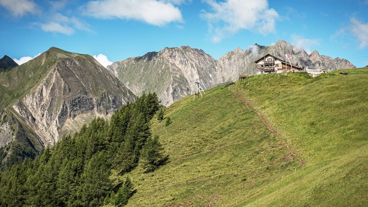
The route starts just below Pfunders at the hamlet of Schaldern. Here you wind your way initially on asphalt up to the farmsteads and later on gravel, with a moderate ascent to the Gampiel Alm (2047 meters above sea level). On a clear day, you have a panoramic view of the Dolomites, surrounded by the 3000 m peaks of the main Alpine ridge. What more could a biker's heart desire? It could be a little more, because the management of this mountain pasture is fabulous. Regional dishes and friendly service make this moment better than many a summit victory.
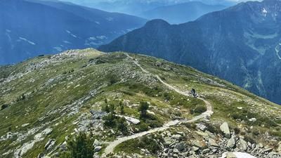
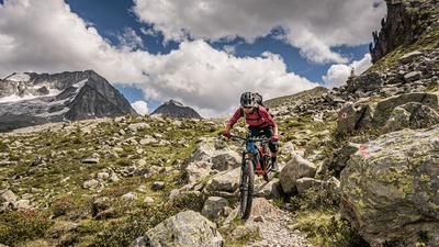
The descent is also a victory after the good refreshment. Towards the Eisbruggalm, the route initially continues on gravel, even a little downhill, before taking the 13er-Höhenweg towards the Egger Bödenalm. At difficulty level S2, this is a fantastic descent above the vegetation line. Continue along the old Karn path, past Dun, before following it under the farmsteads towards Pfunders. From Pfunders, you then enter a valley path. Classic for South Tyrol: pure flow is guaranteed here. With a perfect incline, you surf back to the starting point of this tour almost without using the brakes.
Map & GPX-Track
The map is only available to Ride subscribers.
The Ride-Subscription is available at ride-mtb.com/abo
.
Details of the tour
21 km
1080 m
1080 m
1024 above sea level
2116 above sea level
1 day
Fundres
Fundres
2428
well suited
More information
More tours nearby










User comments (0)

About the author: Martin Depauli
Note: This content has been automatically translated from German. Please report any incorrect translations.