

Rieserferner Hütte

Description
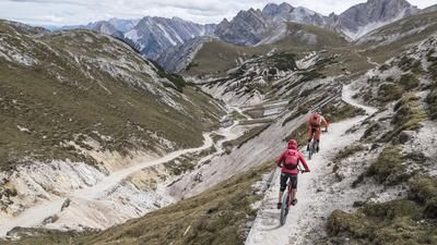
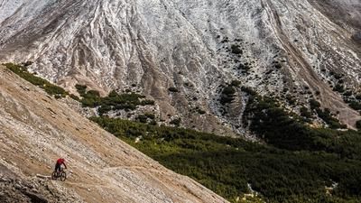
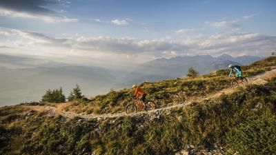
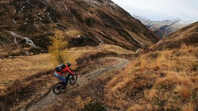
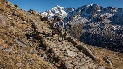
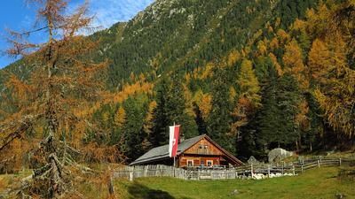
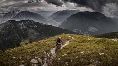
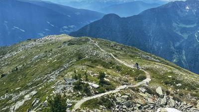
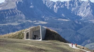
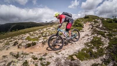
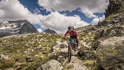
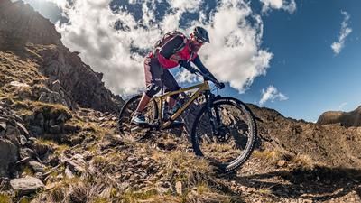
The tour starts in Bruneck and winds its way along the idyllic cycle path towards Olang and Antholz. If this roll-in phase is too long for you, you can take a bike shuttle from Bruneck to Antholz - it's still long enough from there. From the parking lot, a really steep climb begins towards the Bergeralm, although this is only a short one in terms of pedalling: after around 100 meters in altitude, the bike has to be shouldered and from an altitude of around 1800 meters above sea level, the bike is carried and pushed for around 1000 meters in altitude. The tree line is crossed and the view towards the Dolomites and the Villgratner mountains is breathtaking. The Rieserferner Hütte was once built for touristic purposes, which is why it is accessible to the south and also to the north via a well-built path. Once you arrive at the Rieserferner Hütte, you are immersed in an alpine mountain world and can hardly believe you are in South Tyrol: Glaciers, rough rock faces and moraines are sometimes reflected in small mountain lakes. It's hard to imagine that a trail heading north into the Reintal valley should run here. However, after a few meters of descent, the parameters are set for enduro pure culture. The 3er-Ehrlanger-Weg meanders endlessly all the way to Putzach and doesn't give you a second to catch your breath. Almost continuously at S3 level, in places at S4 level, it demands a lot from the riders and rewards them with enormous variety and mountain panoramas. In Putzach, you are almost glad to have some asphalt under your studs for a short break, but then at Toblburg you continue along the Franzikusweg towards Taufers. From here you roll along the Dammweg back to Bruneck. This concludes a tour with alpine character and plenty of variety that is second to none.
Map & GPX-Track
The map is only available to Ride subscribers.
The Ride-Subscription is available at ride-mtb.com/abo
.
Details of the tour
62 km
2215 m
2215 m
820 above sea level
2808 above sea level
1 day
Bruneck
Bruneck
1976
not suitable
More information
Video
More tours nearby



















User comments (0)

About the author: Martin Depauli
Note: This content has been automatically translated from German. Please report any incorrect translations.