

Strudelkopf

Description
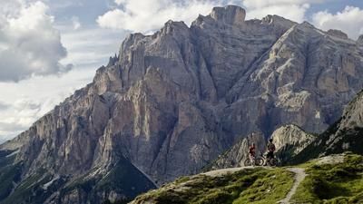
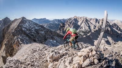
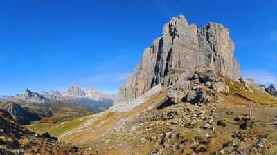
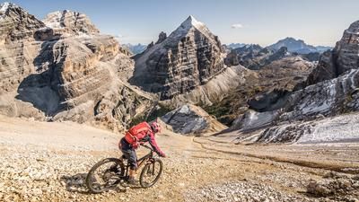
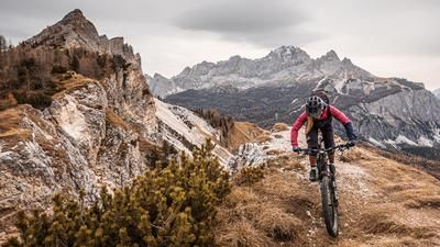
From Schluderbach (1436m), a century-old military road winds its way through the Seelandtal valley up to Plätzwiese in many sweeping bends. Right next to the pretty, newly built Dürrensteinhütte (2040m), a bizarre stone block towers over the Höhlenstein valley: the Plätzwiese barrage. During the mountain war of 1914-18, this fortress of the K & K monarchy was intended to secure the Höhlenstein Valley and with it the Puster Valley from the Italian Alpini. Which backfired badly. The first two shells from the Valle Campedelle hit the bull's eye. Since then, the barrage has silently and very ugly pointed the way down to Cortina. And up to the Strudelkopf. After the compulsory part (and a short rest) comes the freestyle part: the flawless summit ride over the Strudelkopfsattel (2200m) to the Strudelkopf (2307m). E-mountain bikers can be pushed to the summit cross with relish, muscle bikers have to bite, but don't have to fight particularly hard. The view from the cross could hardly be more beautiful! Right opposite: the once hotly contested Monte Piana. To the east, the rocker salute of the Three Peaks. To the south, the ice-crowned Tofana. And to the west, the Hohe Gaisl. A monolith straight out of Lord of the Rings. Looks like Mordor. But it's "only" the realm of the Fanes. After the summit view, we take the familiar route back to Prato Piazza. Within sight of the time-honored, slightly bizarre mountain hotel called "Hohe Gaisl", the final highlight awaits: the Knappenfusstal valley. The descent (officially closed to bikers) begins gently through the flower meadow and constantly increases in difficulty. The executioner for technically experienced and courageous bikers is a steep staircase with a yawning abyss on the right. Better to push! Afterwards, you then whizz along the stream towards the main road, which you reach at the flat pass called "Im Gemärk".
Map & GPX-Track
The map is only available to Ride subscribers.
The Ride-Subscription is available at ride-mtb.com/abo
.
Details of the tour
21 km
890 m
890 m
1434 above sea level
2293 above sea level
1 day
Carbonin
Carbonin
1964
well suited
More information
More tours nearby














































User comments (0)
Note: This content has been automatically translated from German. Please report any incorrect translations.