

Cresta Bianca

Description
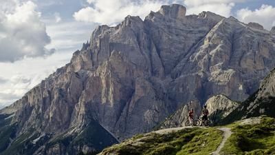
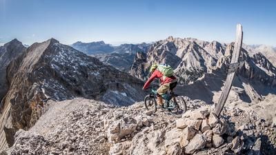
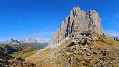
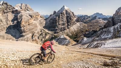
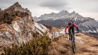
The starting point of this gigantic tour is Schluderbach on the provincial border between South Tyrol and Veneto. From here, the route continues along the old railroad track, now converted into a cycle path, into the village and on towards S. Biagio. From here, it's time to change gear to Lowrange and take the 203 hiking trail or the steep cycle route towards Passo Són Fórcia. At the pass, at an altitude of around 2050 meters above sea level, you can take a break and enjoy the panorama, fill up your water bottles and get some physical rest. Because the tough ascent, or rather the main part of the tour, is still to come. There is still some pedalling to do up to the Rifugio Son Forca at 2235 meters above sea level. From here, it's time to put the bike on your back and tackle the steep path under the old chairlift to Cresta Bianca at 2932 meters above sea level. It should be noted that this is not a major problem up to an altitude of 2600 to 2700 meters above sea level. The final ascent towards the Forcella is characterized by a massive gravel field. It feels like one step forward, two steps back, so you have to fight your way up to the ridge. This seemingly endless climb is rewarded with an incredible panorama. At almost 3000 meters above sea level in the middle of the Monte Cristallo massif, only a few mountain bikers have ever been up here. The panoramic view is gigantic, at times you feel like you're no longer sitting on the earth but on the moon. The only thing pulling you down is gravity, which is also responsible for making the upcoming descent a bomb.
Heading north, follow the warpath down to the Gemärk (Cimabanche). An endlessly long descent awaits and is peppered with buildings and relics from the First World War. Difficulty is mainly at S1 to S2 level, sometimes at S3 to S4. Back in Gemärk and a little later in the starting point of Schluderbach, you can confidently drink a cappuccino and look back on one of the most extreme crossings in the Dolomites, which really makes sense for mountain bikers heading north and offers riding fun.
Map & GPX-Track
The map is only available to Ride subscribers.
The Ride-Subscription is available at ride-mtb.com/abo
.
Details of the tour
27 km
1470 m
1470 m
1442 above sea level
2860 above sea level
1 day
Carbonin
Carbonin
2015
not suitable
More information
More tours nearby















































User comments (2)

About the author: Martin Depauli
Note: This content has been automatically translated from German. Please report any incorrect translations.
We have often carried the bikes, often over 1000 meters in altitude. But we gave up at this scree slope. It would certainly have been a great descent, but the ascent gave us the rest.
Nice tour mom had the day off and was there....:-)
Ebike possible, 3 out of 5 turned around.
DH maximum S1
wonderful and thanks Martin,
Beer is ready