

Col de la Cross

Description
The tour starts in Valle di Cadore and rides steadily uphill towards Rifugio Costa Piana. The ascent runs on paved ground through dense spruce and larch forests and winds its way up hairpin bend by hairpin bend until you reach the Rifugio Costa Piana, located at just under 1600 m above sea level. A stop here offers a welcome break before the rest of the ascent.
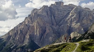
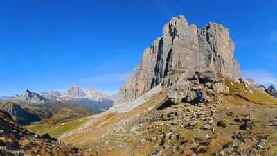
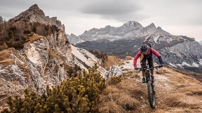
The following section leads along an old military road, which is more challenging but also easy to ride for classic mountain bikes. This route continues to San Dionisio and the Col de la Cross summit at 1967 m a.s.l. From here, a breathtaking panorama opens up with views of the Dolomites, the Antelao summit, the Piave Valley and the southern Carnic Alps - a view that is second to none.
The descent offers two options. You can head north towards Rifugio Antelao, where Sentiero 251 is classified as difficulty S2 to S3 and rides to Forcella Antracisa. Alternatively, you can follow the GPS route past the church to Forcella Antracisa, whereby this variant is technically easier (S1-S2).
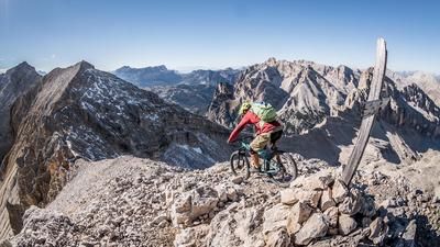
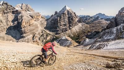
From Forcella Antracisa, the route changes to Sentiero 254, which is technically more demanding and requires all riding skills with difficulty level S3. This section is easy to ride in dry conditions, but should be avoided in wet conditions due to the slippery passages. After this challenging trail, you finally return to the Piave Valley and complete the tour in Valle di Cadore.
Map & GPX-Track
The map is only available to Ride subscribers.
The Ride-Subscription is available at ride-mtb.com/abo
.
Details of the tour
15 km
1050 m
1050 m
839 above sea level
1915 above sea level
Valle di Cadore
Valle di Cadore
3402
well suited
More information
More tours nearby


















User comments (0)

About the author: Martin Depauli
Note: This content has been automatically translated from German. Please report any incorrect translations.