

Große Tofana-Umrundung

Description
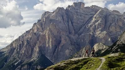
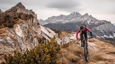
From Cortina, you first take the new 10-seater gondola up to Col Druscié - over a good 560 vertical meters to the second floor. The actual tour starts slightly below at the small reservoir Lago Po' Druscié. A wide gravel path initially leads steeply uphill, later almost flat in a northerly direction through the wooded slopes high above Cortina and offers fantastic views of the Cristallo massif opposite at its clearest points. But soon the path descends almost in a fall line into the deep gorges of the Fanes-Sennes-Braies Nature Park. Down here, where the Fanes brook flows out as the mighty Gola di Fanes waterfall, the long and energy-sapping ascent to the Fanes plateau begins. Over 800 meters in altitude, you struggle forward metre by metre, while the tires almost get stuck in the miserably deep gravel.
The reward for this ordeal comes in the form of a delicious dumpling tris at the Großfanes Alm (not to be confused with the Fanes hut). This small, serviced mountain hut is located in the middle of the Fanes high plateau and right next to the gurgling Fanes stream, which spreads out here in the form of a delta.
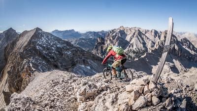
From here, you first roll on wide gravel, later on narrower trails through the wide Fanes valley to the Col de Locia viewpoint. From here, it's time to get down to business: steep, blocked and interspersed with steps, a trail descends some 200 Elevation loss towards St. Cassian. If you enjoy trial riding and there are absolutely no hikers in sight, you can ride a few passages here. For everyone else: please dismount and push. Rush hour is particularly busy here at weekends, and conflicts with pedestrians are inevitable.
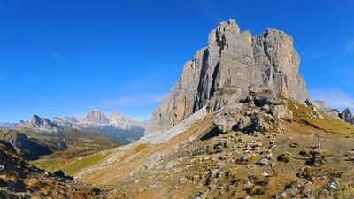
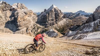
The second part of the tour rides on gravel and some asphalt over the Valparola to the Falzarego Pass - past the historic World War II positions at the top of the pass. On the left, the historic Lagazuoi and the towers of the Tofana group, on the right the Cinque Torri, deep in the valley Cortina d'Ampezzo.
The finale is a treat for enduro freaks: a 20-kilometre trail descent with 1000 Elevation loss, roughly along, but always at a suitable distance from the Falzarego pass road. A technical, root-covered trail, past small lakes and with stream crossings. Only shortly before Cortina does this fairytale forest spit you out again in the small village of Mortisa.
Map & GPX-Track
The map is only available to Ride subscribers.
The Ride-Subscription is available at ride-mtb.com/abo
.
Details of the tour
46 km
1460 m
2005 m
1196 above sea level
2199 above sea level
Cortina d'Ampezzo
Cortina d'Ampezzo
3475
well suited
More information
More tours nearby


















User comments (0)
Note: This content has been automatically translated from German. Please report any incorrect translations.