

Forcella Ambrizzola

Description
Originally, we wanted to recommend the one-way variant, where you turn around from Forcella, roll back to Lago Federa and take Sentiero 431 back to Cortina. However, this route is firstly forbidden for bikers, is usually full of hikers and is also extremely eroded and therefore not much fun. So we planned the tour as a real crossing of the Forcella on the south side of the massif towards Alleghe. Here you ride down on lonely alpine trails to Selva di Cadore, on asphalt towards Passo Giao and then to the Federa chairlift. This takes you up to the Averau hut and back to Cortina on well-known trails (Strada de la Vena tour).
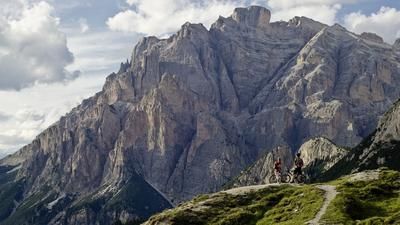
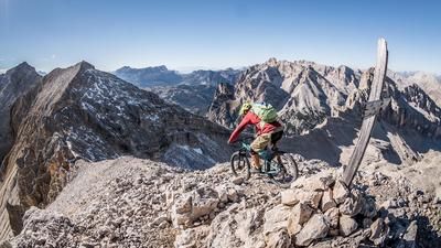
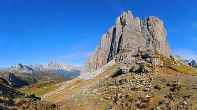
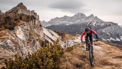
The Forcella is a tough climb. First on asphalt, later on gravel, you first climb around 800 meters in altitude to Lago Federa. An idyllic mountain lake straight out of a picture book, but totally overrun with hikers on nice weekends. They take cabs up to the Croda da Lago restaurant for a coffee break. There is even a bus service - what a shame. The 200-metre climb from here to the Forcella quickly becomes quieter, as very few tourists bother to walk up here - fortunately. And so you can probably enjoy the panoramic madness that opens up on the other side all by yourself. And even more so the trail, which winds its way southwards through alpine meadows for almost 600 Elevation loss. Later, the trail becomes a gravel path and then turns into an asphalt road. You ride through picturesque little villages and hamlets for a while, but at some point the idyllic scenery comes to an end. You come to the pass road towards Passo Giao, which unfortunately, like most Dolomite passes, is often populated by hordes of noisy motorcycle hobby racers. However, the spook only lasts a few hairpin bends before you reach the Rifugio Fedare. From here, you can take the historic two-seater chairlift up to the Averau hut.
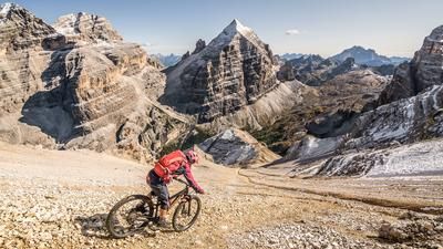
The descent from here back to Cortina follows the same route as the downhill from the Strada de la Vena tour: on gravel towards Cinque Torri, but then right past the striking rock towers to the Rifugio Cinque Torri. From here, the route leads into the forest and back to Cortina on technically challenging trails with roots and rocks.
Map & GPX-Track
The map is only available to Ride subscribers.
The Ride-Subscription is available at ride-mtb.com/abo
.
Details of the tour
40 km
1950 m
2280 m
1123 above sea level
2417 above sea level
Cortina d'Ampezzo
Cortina d'Ampezzo
3474
well suited
More information
More tours nearby


















User comments (0)
Note: This content has been automatically translated from German. Please report any incorrect translations.