

Monte Ciaval – Direttissima

Description
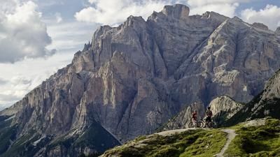
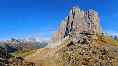
The starting point of the tour is the parking lot below the Peutelstein on the road from Cortina to Dobbiaco. From here, the route follows a steep military road from the First World War on asphalt, later on gravel, past the Fanes waterfalls along the Fanes River to the Grosse Fanesalm (2102 meters above sea level). You can't take it easy here. The higher you get, the more intense the panorama of the Dolomites becomes, but also the more intense the uphill. Partly on loose gravel, every meter is hard work. From the Große Fanesalm, the ascent to Monte Ciaval also continues on military paths from the First World War. Partly riding, partly pushing, the route then continues below Monte Ciastel to the Bivacco della Pace. From this point, you have one of the best panoramic views of the Dolomites. Especially in the fall when visibility is good, you will get goosebumps here. All the more tragic that there was a bitter trench war here over a hundred years ago. The route then continues up to 2912 meters above sea level on Monte Ciaval. A breathtaking road once led up here.
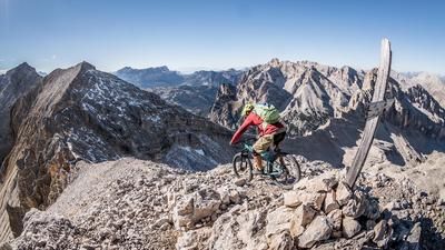
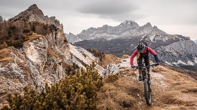
From a panoramic point of view, the upper few meters are down the ascent track. Caution is definitely advised here, as a driving mistake will be punished bitterly. You should also be free from giddiness. In the saddle between Monte Ciaval and Monte Casale, you then take the route into the Travenanzes valley. At the beginning, the bike has to be pushed a few meters before the singletrail with difficulty S3, in places S4, leads to Malga Travenanzes. Full concentration is required to master the countless hairpin bends and loose scree fields. From Malga Travenanzes, the trail becomes a little easier and takes what feels like half an eternity on S2 to S3 to Punte dei Cordes. Now the bike is pushed up to Col Rosa to then tackle the 408er-Sentiero. This is a technical trail masterpiece at difficulty levels S2 to S3. Endless hairpin bends and the final end to this extreme tour in the Dolomites. Then it's a leisurely ride back down the valley path to the starting point. Conclusion: All in all, one of the most challenging tours in the Dolomites. However, you should be in good physical condition, have good riding technique and a head for heights.
Map & GPX-Track
The map is only available to Ride subscribers.
The Ride-Subscription is available at ride-mtb.com/abo
.
Details of the tour
31 km
1670 m
1670 m
1304 above sea level
2841 above sea level
1 day
Cortina d’Ampezzo
Cortina d’Ampezzo
2536
not suitable
More information
More tours nearby


















User comments (0)

About the author: Martin Depauli
Note: This content has been automatically translated from German. Please report any incorrect translations.