

Dürrenstein

Description
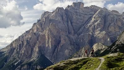
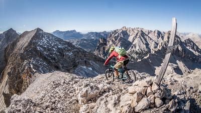
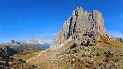
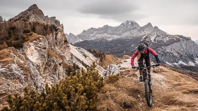
The tour starts in Villabassa/Niederdorf, from where you first wind your way west along the Val Pusteria/Pustertal cycle path and then turn left towards the Prato Piazza/Pragser Wildsee saddle. From here on, the road becomes increasingly deserted, but the panorama becomes ever more magnificent. The road with a pleasant gradient (military road) winds its way up to the Prato Piazza saddle at 1991 meters above sea level. From this point, it's time to put your bike on your shoulder. From here, head north up the 40-meter trail to Dürrenstein (Picco di Vallandro). In total, the bike is on your shoulders for almost 900 vertical meters and should be taken off your shoulder regularly due to the all-round view and the beautiful panorama. There are always wonderful photo spots and the view is more reminiscent of a Hollywood movie than reality. Once you reach the summit, you are treated to an incredible panoramic view of the Dolomites and the Puster Valley. It should be noted that in the area of the summit, the bike has to be carried up and down briefly for the last 100 meters in altitude. There is a ladder in the rock for this, but it is not really difficult. The bike can also be stored before the summit or taken to the summit for photos.
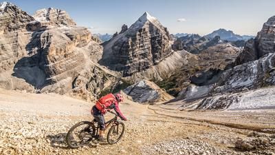
The descent follows the same route as the ascent and is classified with a difficulty of S3, whereby path 40A is now taken in the direction of Dürrensteinhütte. You can then turn off here onto the Strudelkopf and take the Prato Piazza trail for the descent or, at the Dürrensteinhütte, take the 37 trail at S1/S2 level towards Schluderbach. From Schluderbach to Toblach you roll out of the Höhlensteintal valley and are transported from one lost place to another. The Höhlensteintal is a magnificent valley that is second to none. It is more reminiscent of the Grand Canyon than a mountain landscape in the Alps. It is only a few kilometers from Dobbiaco to the starting point in Villabassa. All in all, the tour to Dürrenstein is a very harmonious, alpine tour with an enduro character and wonderful panoramic views non-stop.
Map & GPX-Track
The map is only available to Ride subscribers.
The Ride-Subscription is available at ride-mtb.com/abo
.
Details of the tour
47 km
1760 m
1760 m
1141 above sea level
2762 above sea level
1 day
Niederdorf
Niederdorf
1987
not suitable
More information
More tours nearby














































User comments (2)

About the author: Martin Depauli
Note: This content has been automatically translated from German. Please report any incorrect translations.
Tour worthwhile even without Dürrenstein. Those who start the tour or the descent (around 5 pm) later will be rewarded with hiker-free trails. The Plätzwiese alpine hut just below the Tail is recommended as a refreshment stop (hot food available until 4 pm).
On the descent, the penultimate trail was nothing - quite overgrown and simply straight-line. Further ahead there is another shorter section.
Rode yesterday as described in the tour description. Very pleasant tarred road and the upper section from the restaurant to the summit can even be "pushed". A certain level of fitness or stamina is required. The lowest part can be ridden along a new cycle path that is well signposted.
There are numerous hikers, some of whom are very well disposed, others very critical. Generally speaking, non-bikers are a rarity...