

Fellhorn
Description
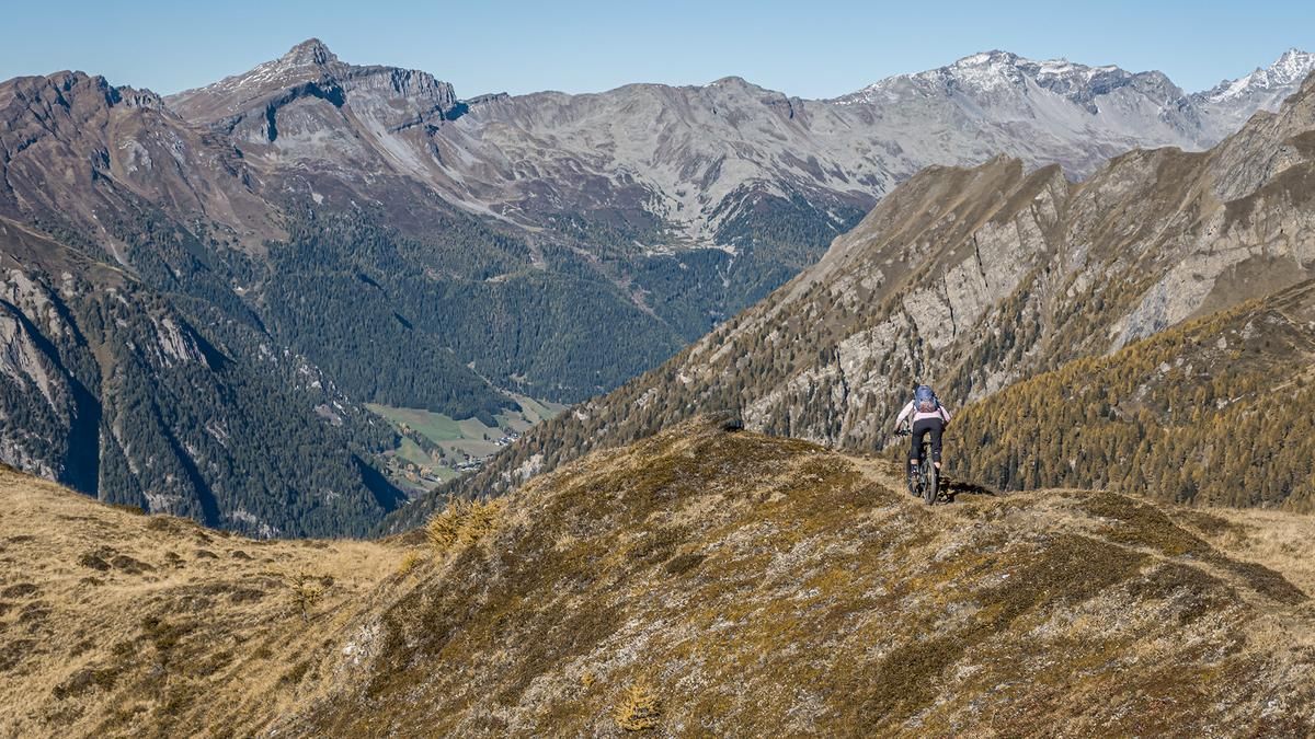
The hike begins right in St. Martin in the Gsiesertal Valley. From here, the ascent leads directly from the village, first on paved roads and later on gravel, through coniferous forests to the alpine pasture at just under 2,100 meters above sea level. For the most part, the trail offers moderate to gentle inclines that are easy to navigate, and the upper section also provides impressive panoramic views. The route then follows hiking trail 52 or 52a steadily uphill, either pushing your bike or carrying it. From the alpine pasture at just under 2,050 meters above sea level to the summit at 2,518 meters above sea level, the elevation gain is about 450 meters, which is easily manageable thanks to the exposed terrain. Once at the top, the view opens up to the Villgratner Mountains and, to the south, the Dolomites.
The descent from the summit to the ridge follows the ascent trail and is relatively smooth and consistent, with difficulty ratings ranging from S2 to S1. From there, continue along Hiking Trail 52 and then Hiking Trail 52b, which leads more steeply through forested terrain. Alternating between S2 and S2+ and on varied terrain consisting of gravel, dirt, and forest floor, you’ll make your way back to the Gsiesertal valley smoothly and steadily before turning onto the Gsiesertalblick Trail and completing the loop in St. Martin.
Map & GPX-Track
The map is only available to Ride subscribers.
The Ride-Subscription is available at ride-mtb.com/abo
.
Details of the tour
18 km
1190 m
1190 m
1270 above sea level
2460 above sea level
1 day
St. Martin
St. Martin
3770
limited
More information
More tours nearby







































User comments (0)

About the author: Martin Depauli
Note: This content has been automatically translated from German. Please report any incorrect translations.