

Cima Carega - Rifugio Pompeo Scalorbi
Description
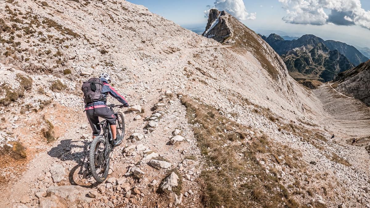
Start at the hiking parking lot above Giazza. From here, a former military road from the First World War climbs steadily uphill in a few hairpin bends. You become more and more immersed in the past and can hardly imagine what a terrible war of position there was here over 100 years ago. The supply road towards Cima Carega was the scene of fierce fighting. Today, you can enjoy the mountain scenery in peace and tranquillity, especially at the upper end of the tour just before the Rifugio Mario Fraccaroli and the summit of Cima Carega. Once at the top, the last few meters to the summit can only be done on foot. You can take your bike with you, but the downhill would be like an S4 to S5 descent. At the summit of Cima Carega (2259 meters above sea level) you have pretty much the best view in the entire Trentino region. To the north, on a clear day, you can see as far as the Ötztal Alps and the main Alpine ridge, and to the south as far as the Mediterranean towards Venice.
The downhill is just as varied and interesting as the view. The ascent variant can be used to warm up in the upper section. Here you can surf down the trail on difficulty S1 in a relaxed manner. The trail cutters can also be taken here, although the difficulty varies greatly. The route then continues in the Direttissima variant to the Rifugio Pompeo Scalorbi. On difficulty levels S1 to S2, you ride on pure limestone and meadow sections up to the Rifugio. After the refuge, the difficulty increases slightly and varies greatly depending on the weather conditions. Between S2 and S3, the route heads towards Malga Campobrun. You can also exit here and then choose the ascent variant. If this is not the case, the route continues in a similar manner, whereby short push sections must be expected, especially in the area of the water crossings. In the lower section, the difficulty decreases and you rejoin the military road in the area of Rifugio Boschetto before crossing the stream at Progno d'Illasi and then taking a few trail sections back to the parking lot. All in all, this is a varied tour that is particularly suitable in spring and fall. In summer, it is less recommendable due to the high temperatures and the high number of visitors.
Map & GPX-Track
The map is only available to Ride subscribers.
The Ride-Subscription is available at ride-mtb.com/abo
.
Details of the tour
27 km
1290 m
1290 m
892 above sea level
2176 above sea level
1 day
Giazza
Giazza
2728
well suited
More information
More tours nearby

User comments (0)

About the author: Martin Depauli
Note: This content has been automatically translated from German. Please report any incorrect translations.