

Cima Palon – Foxi Trail

Description
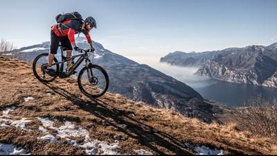
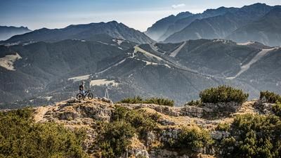
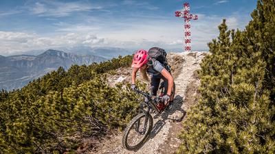
The starting point is the small village of Foxi in Vallarsa near Rovereto. From here, you pedal along a mix of the main road and side roads up to the Passo Pian delle Fugazze (1163 meters above sea level). Now the surface changes from asphalt to gravel and you pedal up the Strada degli Eroi, a military road from the First World War, steadily and at a constant gradient with breathtaking views. At an altitude of around 1800 meters above sea level, you cross the Galleria Generale D'Havet. After passing through the tunnel, the panorama is fabulous. The road winds its way below the Cima Palon to the Rifugio Achille Papa. This section is probably one of the most impressive in the entire Alpine region. Today it is hard to imagine the accuracy, precision and thought that went into choosing the route. At the Rifugio Achille Papa, the route then climbs with a steeper incline and much rougher surface almost to the summit of the Cima Palon. The last few meters have to be tackled by pushing along the ridge. The summit of Cima Palon (2232 meters above sea level) towers above the other ridges and elevations. The panorama is indescribable. Time and again, however, you are reminded of the area's dark past. Extreme battles and positional fighting took place here. Countless signs (bone finds, relics) and fortifications are still silent witnesses to the atrocities of that time.
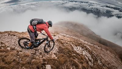
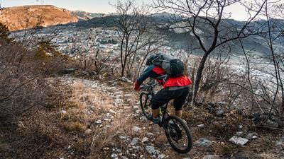
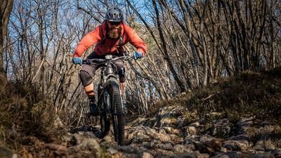
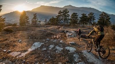
The subsequent descent is relatively crisp in the upper section at difficulty level S3, in places even S4. From Cima Palon, the route descends and then passes Dente Italiano. At Dente Italiano, take the path to the right at the saddle and finally cross the ascent variant again before it becomes increasingly flowy and easier past Sette Croci on difficulty S2 and finally reaches its climax below the Roite summit. An almost endless trail leads westwards with a magnificent panorama. At Bocchetta delle Corde, the trail becomes a little more difficult and a little more slippery, especially in the fall. This changes abruptly at the saddle. Below Monte Testo, the flow is boosted again before you reach the final highlight, the Foxi Trail. On an old Alpini trail, there are countless hairpin bends on difficulty levels S1 to S2 down to the starting point.
Note: 98 percent of the route is suitable for e-mountainbikes. Only in the summit area to the Italian Tooth (Dente Italiano) is there a concrete staircase to negotiate.
Map & GPX-Track
The map is only available to Ride subscribers.
The Ride-Subscription is available at ride-mtb.com/abo
.
Details of the tour
38 km
1800 m
1800 m
625 above sea level
2204 above sea level
1 day
Raossi
Raossi
2612
well suited
More information
More tours nearby













User comments (3)

About the author: Martin Depauli
Note: This content has been automatically translated from German. Please report any incorrect translations.
I rode the tour in August 2023. Awesome tour!
Absolutely one of the very best trails here!
The reverse is also true : https://youtu.be/_dodd-yJEQ0