

Cima Cornetto

Description
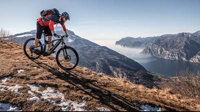
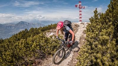
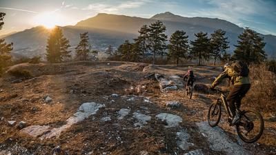
From Besenello, the route climbs relatively steeply past Beseno Castle, continuing steadily uphill on asphalt and finally on a moderate gradient towards Folgaria. At Folgaria, the leisurely uphill is over and you then climb relatively steeply on a feeder trail to Rifugio Paradiso. From the Rifugio Paradiso, you are above the tree line and already have a magnificent view of Trentino and the epic mountain ranges. From the Rifugio itself, you then only have to push or carry yourself towards Cima Cornetto (2060 meters above sea level), whereby the uphill is also the downhill in this section, so key sections can already be closely examined. Once you reach the summit, you can enjoy a breathtaking 360-degree panorama of the entire Valsugana, Trentino and the view towards the Trenta Group is breathtaking and unique for this region. It's hard to believe that the mountain is a relatively unknown peak in the bike scene.
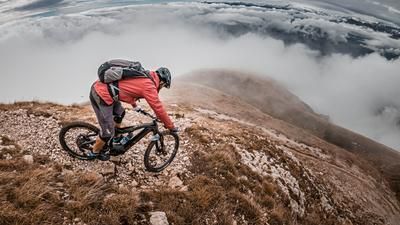
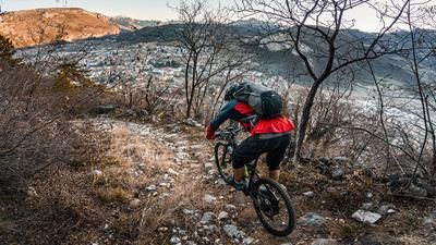
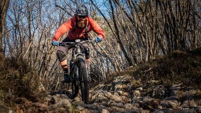
On the downhill, you only have a few meters to warm up your brakes. The descent to Rifugio Paradiso is slightly crisp at S2 to S3 level. Full concentration is the order of the day, as the gravel with hairpin bends and off-cuts is relatively fast. From the Rifugio Paradiso, you take the old Kaiserjägerweg from the First World War at the chapel, with relics of this period to be found all over the mountain and on the tour. At difficulty level S2, in places S3, the route then descends relatively far to an altitude of around 900 meters above sea level. Here you briefly cross the asphalt road again and take the trail cut-off through Mezzomonte and then the short uphill towards Ondertol. From Ondertol, the trail descent continues and you wind your way down the entire Rio Cavallo gorge route to Calliano. A breathtaking and eternal trail rears up at the end before you have to pedal a few meters back to the starting point in Besenello. Conclusion: A fabulous tour in a rather unknown area. The tour should be taken on the way to Lake Garda in particular.
Map & GPX-Track
The map is only available to Ride subscribers.
The Ride-Subscription is available at ride-mtb.com/abo
.
Details of the tour
35 km
1960 m
1960 m
191 above sea level
2015 above sea level
1 day
Besenello
Besenello
2141
limited
More information
More tours nearby













User comments (0)

About the author: Martin Depauli
Note: This content has been automatically translated from German. Please report any incorrect translations.