

Cima Palon – Sentiero 625/645

Description
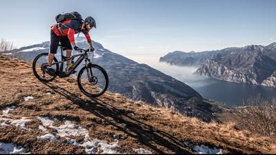
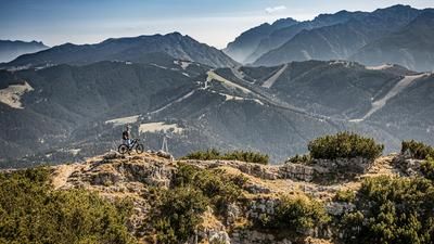
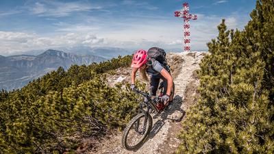
The route starts in Trento near the panoramic mountain Doss Trento. From here, you follow steep but historic side roads towards Candriai and on to the ski resort of Vason at 1650 meters above sea level on Monte Bondone. The view is already magnificent on the ascent, but you have to share the main road with some car traffic, motorcycle traffic and a few racing cyclists. In Vason in particular, you will notice the tourist input of this area through the countless hotels and chalets. In the area of the lifts, the leisurely section of the uphill is over. From here, a merciless climb on gravel up to the summit begins. Sometimes you have to push your bike - with the exception of e-mountain bikers. Once you reach Cima Palon, the scenery is split in two. On the one hand, the mountain drops steeply to the east and offers some of the best views in the Alps, while to the west is the ski area, which is a little less thrilling in summer. Behind it, the Adamello-Brenta group stands out.
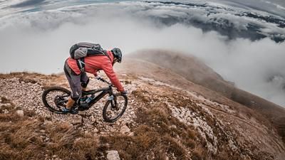
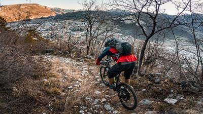
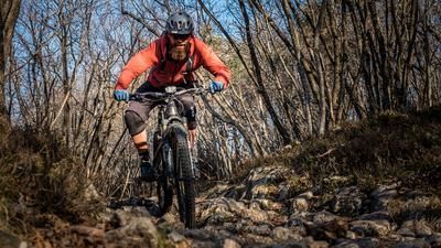
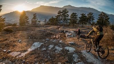
On an old military road from the First World War, the descent then heads north to Vason. Varying difficulty from S2 to S3, S1 in places. After completing this stage, the route continues unabated. In Vason, you come across a historic path again and wind your way down it, initially on difficulty S1, later S3, to the height of the tourist village of Vaneze. Countless hairpin bends combined with rock gardens and roots have to be mastered before you take the Strade di Vaneze and thus change direction towards Sardagna. The same level of difficulty, just in a different direction - that's the motto. The route continues on S2 to S3 to the small village on the high plateau towards Trento. Full concentration is required to master this stage without making any mistakes. The weather is a key factor on the entire tour. In dry conditions, the trails are technically easy to master, but rain makes certain sections unrideable. From Sardagna, take the Sentiero 625 towards Belvedere. A classic trail with historical flair. Walls, intermediate climbs, but a seemingly endless trail. The last 100 Elevation loss in particular puts a big grin on your face until you finally reach the bottom of the Adige Valley again. From Belvedere, it is easiest to cross the Adige river and take the transfer route back to the starting point on the Trento side. Conclusion: All in all, one of the most extensive and varied tours in the area around Trento and not to be underestimated with its almost 2000 vertical meters of uphill and downhill.
Map & GPX-Track
The map is only available to Ride subscribers.
The Ride-Subscription is available at ride-mtb.com/abo
.
Details of the tour
38 km
1860 m
1860 m
188 above sea level
2041 above sea level
1 day
Trient
Trient
2350
well suited
More information
More tours nearby













User comments (2)

About the author: Martin Depauli
Note: This content has been automatically translated from German. Please report any incorrect translations.
The upper part of the tour to Sardagna is really great in the S2-S3 range, but the Sentiero 625 that follows is quite a cramp. Very exposed and a constant up and down. It makes much more sense to descend from Sardagna via the trail on the Soprasasso in line with the Giro Sopramonte. There is a bit more elevation gain, but then there is the use of the cable car.
You can take the cable car from Trento up to Sardagna. This saves
about 400 steep meters in altitude.
I used the cable car a few times. And, would you believe it, I was
alone in the gondola, even on a Sunday!
Costs 6 euros including the bike.