

Corno d'Aquilio

Description
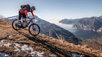
You start in the Adige Valley near the small village of Peri. The main road winds its way uphill in impressive hairpin bends - always accompanied by sweeping views towards Monte Altissimo and Monte Baldo. Once you reach the high plateau, you reach the village of Fosse, from where the view over the foothills of the Alps opens up once again.
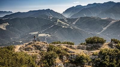
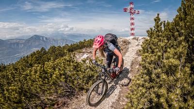
Continue via Tommasi before switching to gravel and following the former military road to Malga Corno d'Aquilio. From there, you roll downhill for a short distance before the final climb to the summit awaits. Some sections are still rideable, but then the terrain becomes steep - the bike has to be pushed up to around 1550 meters above sea level. At the top, you are rewarded with a sweeping panoramic view. The view is particularly impressive in autumn and spring - and the many war positions from the First World War give the landscape a serious, historical depth.
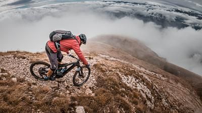
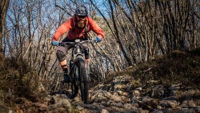
The descent begins rough: between S2 and S3, the trail demands active riding technique - the sharp-edged limestone is unforgiving. A clean line choice is essential to protect the equipment. Later, the trail becomes a little more flowy and leads into an old mule track, which also has tricky passages on S2 to S3.
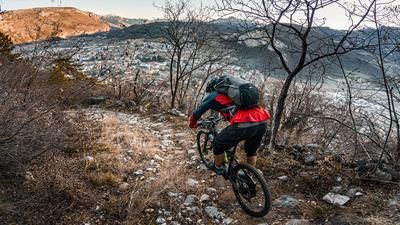
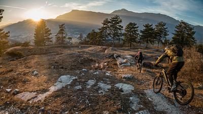
Back in Tommasi, a panoramic trail crossing leads towards Rocca Pia. This section is also challenging: initially S2-S3, later flat S3, with tight hairpin bends that require staggered rear wheel riding. There are also a few short stretches of pushing, especially before Malga Montarione. From the mountain pasture, the trail becomes increasingly rough. The last 250 or so Elevation loss are on an easy cart track - a rather unspectacular end to a challenging but rewarding trail loop. Back in the valley, you roll comfortably along the road to the starting point in Peri.
Map & GPX-Track
The map is only available to Ride subscribers.
The Ride-Subscription is available at ride-mtb.com/abo
.
Details of the tour
30 km
1460 m
1460 m
120 above sea level
1513 above sea level
Peri
Peri
3564
limited
More information
More tours nearby













User comments (0)

About the author: Martin Depauli
Note: This content has been automatically translated from German. Please report any incorrect translations.