

Doss Pagano

Description
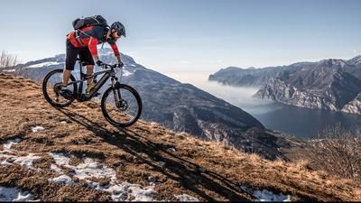
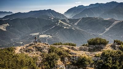
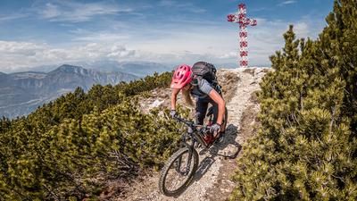
Start in Villa Lagarina a little north of Rovereto. Initially, you cycle to Pomarolo and on to the magnificent Doss dei Rovri viewpoint. At this viewpoint, the first grin spreads across your face as the Adige Valley and the surrounding mountains lie at your feet. However, the end of the tour is not yet in sight. The route continues on asphalt and finally at Vanezota on a cart track up to an altitude of around 1250 meters above sea level. From this point, you have to push or carry your bike the last few meters to the summit. Cross the summit and walk a few more meters back in a northerly direction before reaching the viewpoint. With views towards Monte Cornetto, as well as Trento, Valsugana and towards Pasubio, it's a good place to be at 1350 meters above sea level.
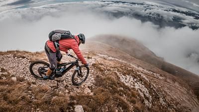
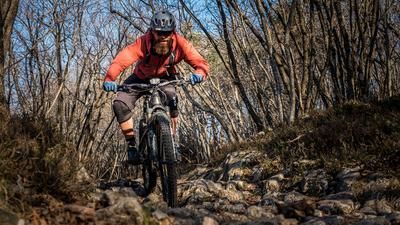
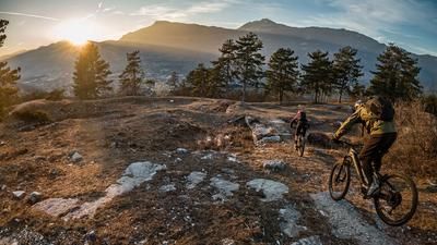
The descent continues along the ascent variant in the upper section until the fork in the forest road on a difficulty of S2 and later S1 downhill. From here, you briefly follow the course of the Strada Forestale and then turn onto the path towards Savignano at the former military gun from the First World War. On a difficulty of S2, you surf the entire southern flank of the mountain and can enjoy the fantastic panorama in the unwooded areas in between. At Magnesia, you return to the ascent variant up the asphalt road for around 100 meters before turning left onto an old military path towards Felese. This leads slightly uphill at a constant gradient and is a particular highlight of this tour. A breathtaking structure in the middle of a rock face, paired with panoramic views of superlatives. The last bombastic Elevation loss towards the starting point is still to be mastered. On S2 to S3, things really get down to business once again, with an enduro feeling before you arrive at the starting point with a total of around eight kilometers of trail, well shaken. The tour is particularly suitable in spring and fall, as the tour is quickly free of snow due to the low altitude and the orientation conjures up dry trails.
Map & GPX-Track
The map is only available to Ride subscribers.
The Ride-Subscription is available at ride-mtb.com/abo
.
Details of the tour
23 km
1240 m
1240 m
178 above sea level
1304 above sea level
1 day
Villa Lagarina
Villa Lagarina
1862
well suited
More information
More tours nearby














User comments (1)

About the author: Martin Depauli
Note: This content has been automatically translated from German. Please report any incorrect translations.
The old military trail towards Felese, mentioned as a particular highlight, can only be negotiated by pushing in some places. Rockfalls and high, blocked steps make the crossing a strenuous exercise. If you don't want to tackle the very steep and difficult entrance to the last trail, you can also traverse the slope at the bottom.