

Baita S.A.T – Romagnano

Description
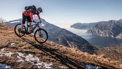
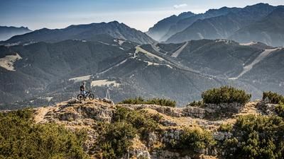
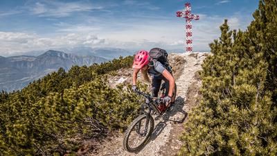
The route starts in the small town of Aldeno in the Adige Valley. From here, the route follows historic paths towards Covelo and then the main road to Garniga Terme. Even at this point, it is clear that the uphill is always rewarded with stunning panoramic views. From Garniga Terme, the route climbs steadily on a moderate gradient almost all the way to the summit. From the Lost Places, the old buildings of the experimental station at La Villa - Centro di Ecologia Alpina, the route runs on gravel and ends shortly before the summit cross. The trail descends a few meters to the summit cross, where you can enjoy a breathtaking view of the mountains and Trento.
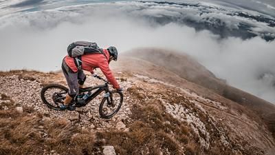
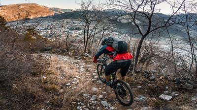
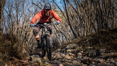
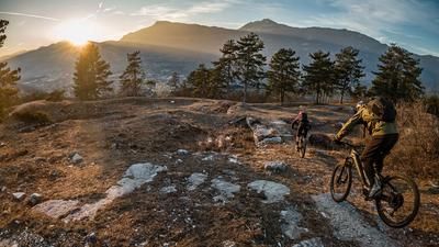
After that, it's straight down to business on the trail. On an old military path from the First World War, you surf the entire mountain ridge on difficulty levels S1 to S2 until you reach the saddle before the Parolet summit. Keep to the right here and follow the same route down the Senter dela Galina to Garniga Vecchia. From Garniga Vecchia comes the next trail highlight. A historic trail with difficulty level S2 (S3 in places) leads to Romagnano. A never-ending descent serves touring and enduro bikers with a deluxe trail treat that only ends above the town center. From the village of Romagnano, take the main road back to the starting point.
Map & GPX-Track
The map is only available to Ride subscribers.
The Ride-Subscription is available at ride-mtb.com/abo
.
Details of the tour
32 km
1540 m
1540 m
198 above sea level
1661 above sea level
1 day
Aldeno
Aldeno
2296
well suited
More information
More tours nearby













User comments (1)

About the author: Martin Depauli
Note: This content has been automatically translated from German. Please report any incorrect translations.
I did this hike on June 3, 2026. As described, you get great views again and again during the ascent, and overall, the trail is easy to hike. The scenery is also very beautiful. The trail is just as described. It’s a real blast!! I highly recommend this hike.