

Cima Palon

Description
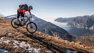
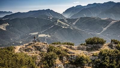
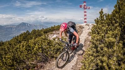
The tour starts at the parking area on the main road to Vallarsa below the small village of Moscheri. Anyone tackling this project with e-assistance should have sufficient battery power or a spare battery with them. This question does not arise for biobikers, but an excellent level of fitness is required. If this is not the case or if you want to shorten the tour a little, you can take a shuttle to the Pian delle Fugazze pass (1163 meters above sea level). For everyone else, the pass road from the parking lot to the junction of the main road and the Strada degli Eroi must be ridden under your own steam. There is a constant gradient throughout, but a few meters of altitude are lost in between as the road includes downhill sections. From Pian delle Fugazze, you take the old military road and pedal up a gentle gradient to the Galleria General d'Havet - probably one of the highlights of the tour. A breathtaking panorama over the entire Pasubio up to the Rifugio Achille Papa opens up and gives you an idea of what lies ahead. The breathtaking military road is cut through the rocky needles with tunnels and hairpin bends, giving bikers unrestricted access up to the rifugio. Shortly after arriving at the Porte del Pasubio (1928 meters above sea level), the road becomes a little bumpier and you pass the battlefields of the First World War and climb up to the Cima Palon (2232 meters above sea level) in the middle of the front between Austria/Hungary and Italy. However, the last few meters in altitude can only be mastered by pushing. Once you reach the summit, the panorama is unbeatable and you can't imagine the conditions that prevailed here over 100 years ago. The many trenches alone give you an idea of what people had to endure back then. On almost all the peaks, you can still find pieces of sheet metal from the past, some of them even bone fragments from the fallen.
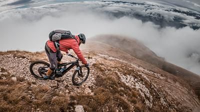
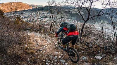
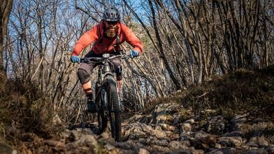
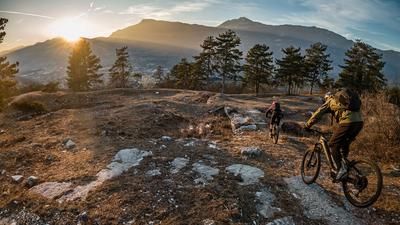
The descent itself initially runs at S3 to S4 level in places over the entire summit to Sella del Piccolo Roite and on to Bocchetta delle Corde. The trail is at S2 level at most, and it is unimaginable how much infrastructure was built back then. In the meantime, these Alpini paths have mutated into trails and by the time you reach Bocchetta delle Corde, you have already covered what feels like countless trail kilometers on your bike. If that's not enough, the route continues to the Bocchetta di Foxi (1720 meters above sea level). Here, the route continues briefly on a natural pump track of around one kilometer in the direction of Keserle. From Keserle, the trail becomes more technical again and climbs to the upper S2 level before arriving in the village of Boccaldo. From here, the route continues towards Pozza and from Pozza the last trail Elevation loss back to the parking lot in the Spino area to the starting point. In total, you have almost 20 kilometers of trail descent behind you and can pat yourself on the back. A gigantic tour that requires the best weather, physical fitness and trail skills.
Map & GPX-Track
The map is only available to Ride subscribers.
The Ride-Subscription is available at ride-mtb.com/abo
.
Details of the tour
49 km
2060 m
2060 m
410 above sea level
2191 above sea level
1 day
Rovereto
Rovereto
2093
limited
More information
More tours nearby













User comments (0)

About the author: Martin Depauli
Note: This content has been automatically translated from German. Please report any incorrect translations.