

Monte Marzola

Description
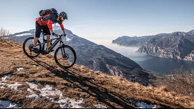
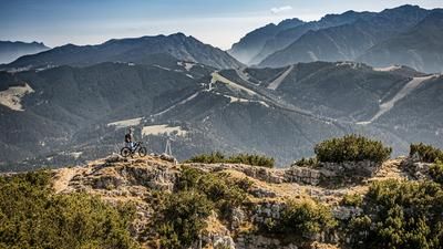
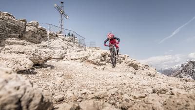
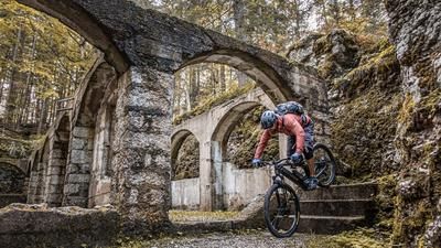
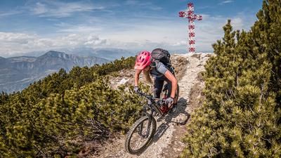
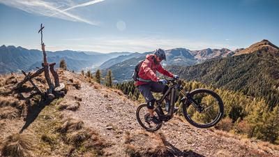
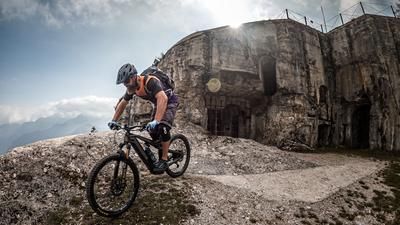
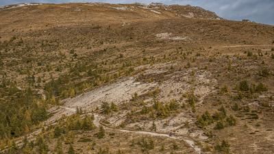
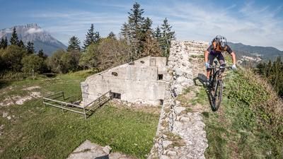
The route starts in the small village of San Rocco near Trento. From here, the route winds its way uphill through small alleyways and typical Italian architecture, initially in an urban environment and later in open terrain along the Strada Forestale Loica to the Rifugio Maranza. Even on the ascent, it is clear that the mountain has a certain appeal for local bikers. Again and again you see interesting trail cut-offs. From the Rifugio Maranza, the route climbs uphill along a historic path from the First World War, past fortifications to the summit of Monte Marzola Sud (1736 meters above sea level). Once at the top, there is a fantastic view of the Valsugana and Lake Caldonazzo. The Brenta Dolomites can be seen to the east and the Adamello group to the west.
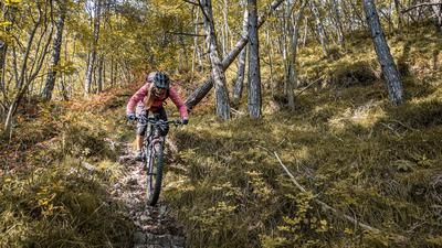
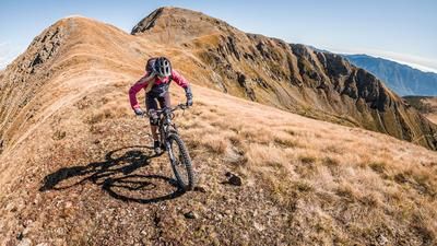
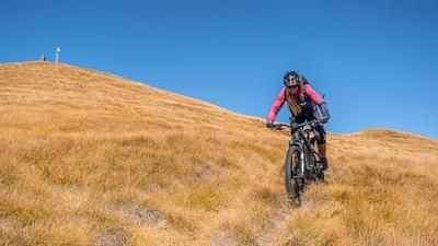
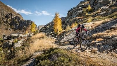
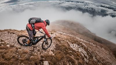
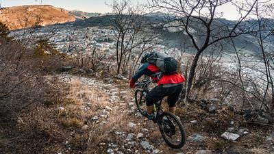
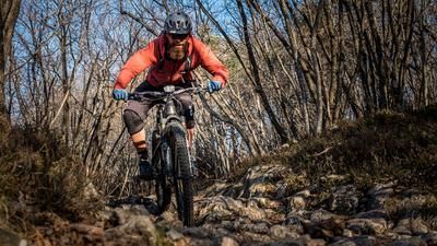
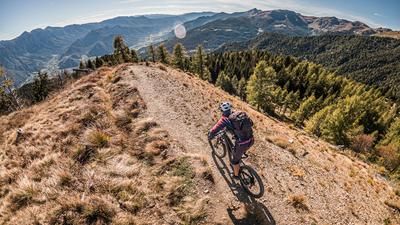
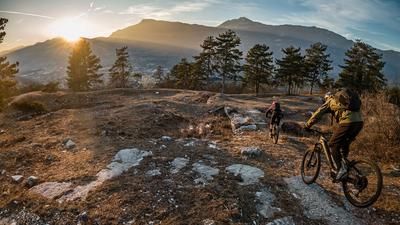
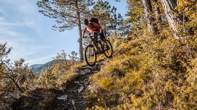
What the view already promises, the downhill also promises: first class! Initially on the ascent route, you surf down the old military road between S1 and S2. From the Rifugio, the going gets a little tougher and the route follows the ridge to the starting point in San Rocco on a difficulty level S2, typical of Trentino. Especially in spring and fall, when the vegetation is still sparse and visibility is good, the brakes can be loosened a little more and you can pick up speed quickly. All in all, a history lesson of a different kind, with almost nine kilometers of trails and a fantastic panorama at the summit.
Map & GPX-Track
The map is only available to Ride subscribers.
The Ride-Subscription is available at ride-mtb.com/abo
.
Details of the tour
20 km
1295 m
1295 m
357 above sea level
1660 above sea level
1 day
Trient
Trient
2254
well suited
More information
More tours nearby























User comments (2)

About the author: Martin Depauli
Note: This content has been automatically translated from German. Please report any incorrect translations.
We rode this route on April 4, 2026. It should be noted that the old military trail to the summit is off-limits to bikes. In Trentino, you really should respect such restrictions, since very few things are actually prohibited there. Additionally, there are several sections that are definitely at least S3 level, or so rocky and uneven that only a very few riders can ride them. With a mountain bike, you’ll have to push almost the entire way up the trail. But the view is truly worth it!
On the descent, don’t always rely on the GPS track below Rifugio Maranza—as soon as you’re on a forest road for too long, it’s better to look for alternative routes, which are easy to find on the Map. The trail experience and riding fun will be significantly better.
The ascent (very steep) is not worth the effort. The trail is suitable for beginners at best.