

Forcella Magna

Description
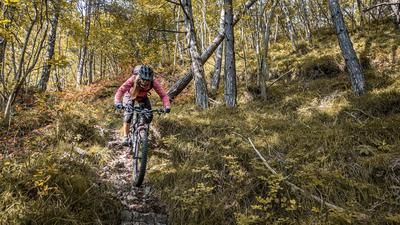
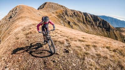
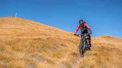
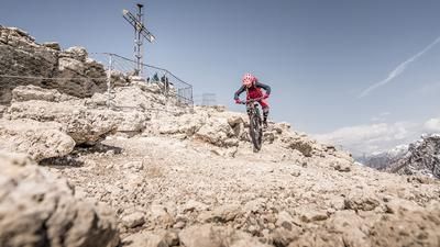
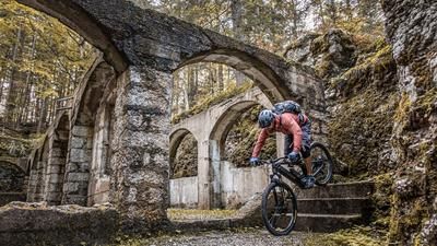
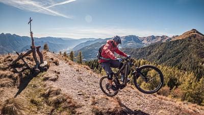
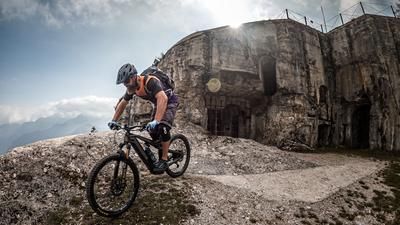
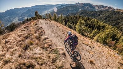
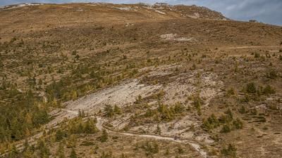
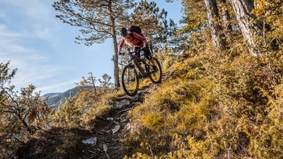
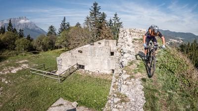
The tour starts in Strigno under Tomaselli. Initially, you pedal steadily uphill along the Torrente Chieppena and are already challenged here. In Bieno, the uphill eases off a little and you pedal along the main road past Cima di Pradellano to Pieve Tesino. Pieve Tesino is a beautifully situated village and points the way to the highest point of the tour, the Forcella Magna. The route dives further and further into the hinterland and follows a former military road to Camping Val Malene. From the Val Malene campsite, the route continues in a similar manner to the Bacino di Sorgazza. The Rifugio Malga Sorgazza is the last stop here. The route then continues steadily uphill on an epic and legendary military road on S1 to S3. However, this is not rideable in the meantime, as erosion and rockfalls have occurred in places. On the Forcella Magna you are at over 2100 meters above sea level and in a fabulous landscape. A cross-country-like enduro ride then begins. Some uphill, some downhill with slight counter-climbs and some sections that have to be tackled by pushing or carrying. The route circles past the Cima Socede to the Passo 5 Croci. At the pass of the 5 crosses there are some remains from the First World War and also the trail for the descent. The route continues in a similar way towards Malga Conséria on S1 to S2, taking the official mountain bike route to the left at the mountain pasture and following a high-level trail below Monte Conséria with downhill and uphill sections towards Primalunetta. In Primalunetta, you then join a mule track that rides down to the war memorial on varying degrees of difficulty, but essentially between S1 and S2, and then on small trail sections from Samone to the starting point. All in all, it's a long and long tour with the highlight of the Forcella Magna, but with a total ascent of over 2100 meters in altitude, it really demands everything from a biker in terms of fitness.
Map & GPX-Track
The map is only available to Ride subscribers.
The Ride-Subscription is available at ride-mtb.com/abo
.
Details of the tour
52 km
2045 m
2045 m
452 above sea level
2150 above sea level
1 day
Strigno
Strigno
2730
limited
More information
More tours nearby










User comments (0)

About the author: Martin Depauli
Note: This content has been automatically translated from German. Please report any incorrect translations.