

Monte Ciste

Description
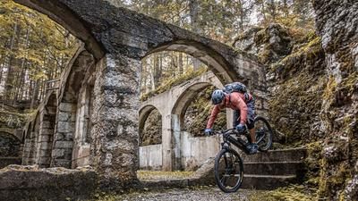
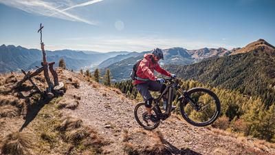
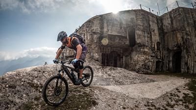
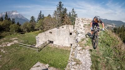
Start in the hamlet of Campestrini. From here, the route initially climbs steadily uphill on asphalt through beech forests. Past Maso Berti until you finally reach Casolera-Porchera. Towards the end, the path becomes more and more selective, before you come to a military fort from the First World War. This leads to the saddle, where it would be tempting to continue riding along the Alpini trail past the Rio Val Lavoschio and head north to tackle the summit. However, this should be avoided. The path deteriorates after a few meters and the windthrow from 2018 has not been removed here. The bike is therefore carried over the ridge to the summit of Monte Ciste. You can already think about some of the key sections on the descent during the ascent. The summit impresses with a fabulous 360-degree panorama and alpine flair.
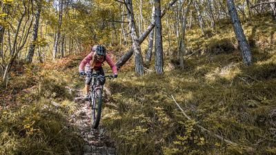
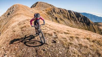
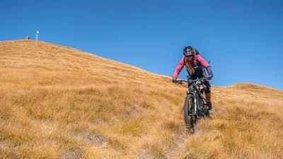
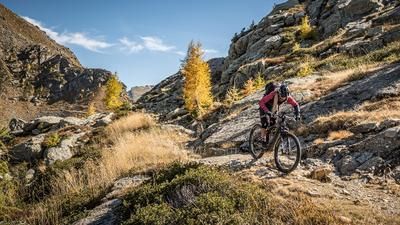
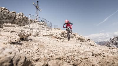
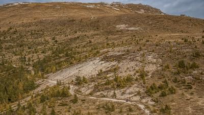
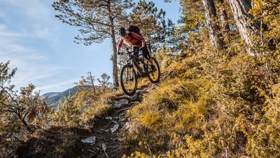
The trail starts quite challenging on the descent. There is no roll-in phase and no warm-up for the muscles either. At difficulty level S3, the trail constantly descends to the summit. Partially overgrown grass and washed-out sections in the trail make the descent very demanding. The route remains in this style before switching to difficulty S2 in the lower section and finally accepting a small counter-climb towards Monte Salubio. Below Monte Salubio, the route then flows very smoothly on difficulty levels S0 to S1 as far as the Ristorante Al Laghetto. From here, a real treat of a trail begins. On difficulty levels S2 to S3, you ride along the entire mountain ridge, past Spiado and back to the starting point, bringing the tour to a close.
Map & GPX-Track
The map is only available to Ride subscribers.
The Ride-Subscription is available at ride-mtb.com/abo
.
Details of the tour
19 km
1355 m
1355 m
782 above sea level
2066 above sea level
1 day
Campestrini
Campestrini
2709
limited
More information
More tours nearby










User comments (0)

About the author: Martin Depauli
Note: This content has been automatically translated from German. Please report any incorrect translations.