

Cima Ravetta Süd

Description
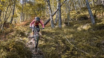
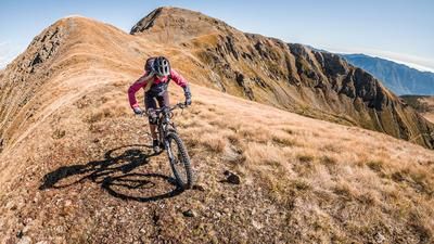
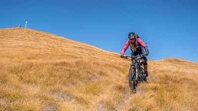
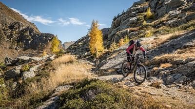
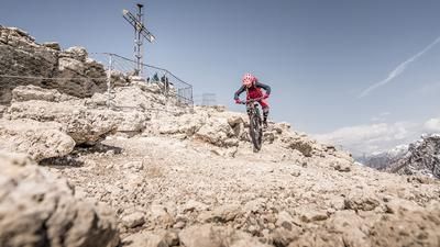
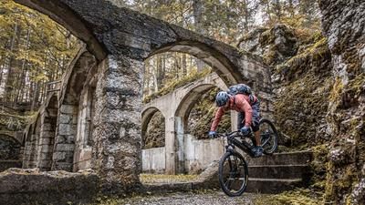
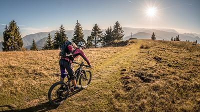
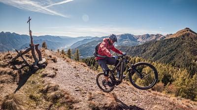
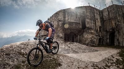
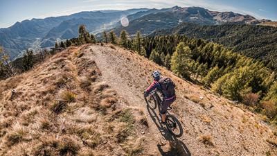
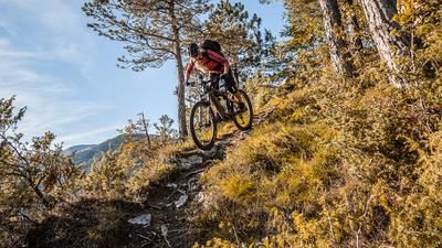
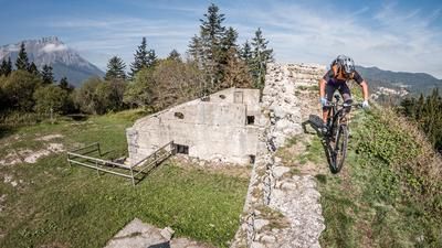
You start in the village of Samone. This is where the uphill begins, initially on asphalt and from the First World War memorial Cristo D'Oro on gravel steadily up through the forest. A very long and challenging uphill begins. In the intermediate section, there is even a brief loss of altitude on a gravel road. After the challenging uphill section, the route continues along the Malga Primaluna di sopra, either pushing or carrying, until you reach the El Dogo saddle. On this unforested plateau with excellent panoramic views, you can see some excavations from the mining era in the direction of Monte Cima. The route then continues towards Bivacco Argentino Vanin, also pushing or carrying uphill and then up to Cima Ravetta (2266 meters above sea level). Once at the top, the exertions are compensated by the fantastic landscape and the trail descent. A mix of S1, S2 and S3 leads up to the saddle and then steadily down over the southern ridge. Panoramic views can be caught again and again and a varied and sometimes challenging, historic trail rides steadily downhill. In the middle section below Malga Tizzon in particular, there are several possible variations, as there are several forks in the path here. In the lower section, above the Parco giochi, you then return to the starting point and roll back to Samone.
Map & GPX-Track
The map is only available to Ride subscribers.
The Ride-Subscription is available at ride-mtb.com/abo
.
Details of the tour
22 km
1550 m
1550 m
696 above sea level
2238 above sea level
1 day
Samone
Samone
2703
not suitable
More information
More tours nearby










User comments (0)

About the author: Martin Depauli
Note: This content has been automatically translated from German. Please report any incorrect translations.