

Monte Rust Nord

Description
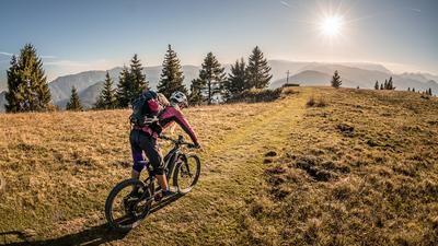
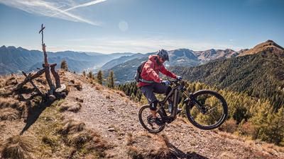
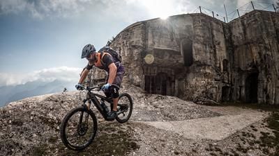
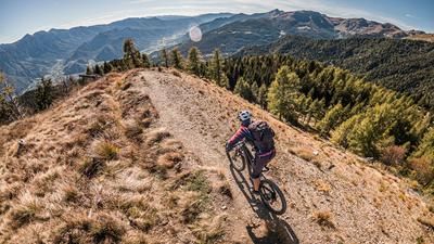
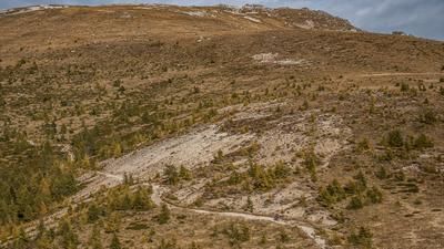
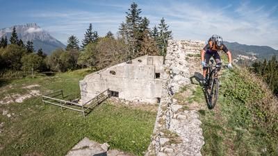
The starting point is the village of Caldonazzo, near Lago di Caldonazzo in Valsugana. From this point, things get historical. An impressive road from the First World War from the Austrian/Hungarian Empire, the Kaiserjägerstrasse leads steadily uphill on a constant gradient and asphalt to Monterovere. Shortly before Monterovere, you take a gravel road and cross the high plateau with a descent to Gionghi. The route now leads to Lago di Lavarone and then very steeply up to Monte Rust (1282 meters above sea level). Fragments of the Osservatorio Austroungarico Monte Rust can still be seen on Monte Rust. During the First World War, this summit was heavily fortified due to its strategically favorable and panoramic location.
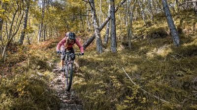
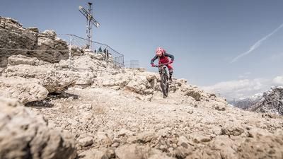
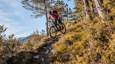
The descent from Monte Rust is initially on the military road and later on a trail section heading north to Ex comando austriaco. The next historical lost place. The command center, also from the First World War, is also the hotspot for the next trail entrance. Initially on S1 to S2, it winds its way down and is classified as S3 to S4, especially in the middle section. There are a few hairpin bends to master here, and in a few places the bike can only be pushed forward. A combination of steps and extreme hairpin bends requires true trail skills. Once you reach Torrente Centa, you can also see the fragments of a former hydroelectric power station. Afterwards, you pedal along the valley floor northwards back to the starting point in Caldonazzo.Tip: The section to Monterovere can be shortened with a shuttle
Map & GPX-Track
The map is only available to Ride subscribers.
The Ride-Subscription is available at ride-mtb.com/abo
.
Details of the tour
27 km
1020 m
1020 m
491 above sea level
1353 above sea level
1 day
Caldonazzo
Caldonazzo
2712
well suited
More information
More tours nearby










User comments (0)

About the author: Martin Depauli
Note: This content has been automatically translated from German. Please report any incorrect translations.