

Forte Campo Luserna

Description
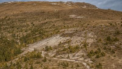
The tour starts near Casotto, a small village on the Astico river in the Valle dell'Astico. At the beginning, the trail leads steadily uphill on a classic military road. After a short while, you pass a gallery before you reach a key point: a landslide has partially buried the road from Casotto to Malga Croier. However, with a little surefootedness and shouldering the bike, this section can be overcome without any problems. The steady ascent then continues - over hairpin bends and long intermediate climbs.
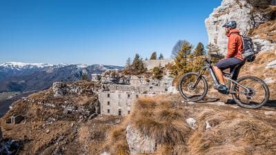
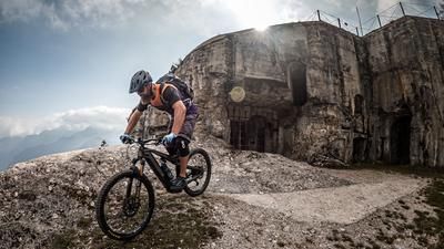
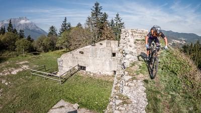
Shortly before Malga Campo, you cross it to the right and reach the highest point of the tour a little later: Forte Campo Luserna. This former Austrian defensive structure was severely damaged during the First World War and looted in the following decades before being partially blown up in the 1950s. It has now been restored and serves as a mixture of open-air museum and accessible fortress - well worth a visit.
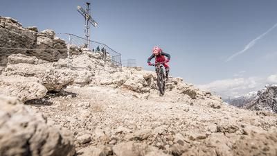
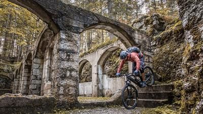
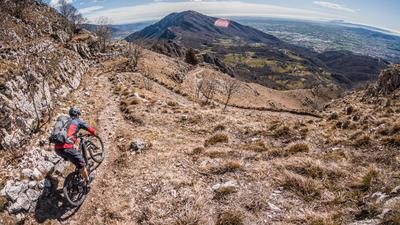
The descent then begins. To warm up, the route descends on S1 to S2 trails to Luserna/Luserna, an idyllic village on the plateau of the 7 municipalities. This is followed by the main descent via Sentiero CAI 601 - a typical military trail with countless hairpin bends and loose stones. The difficulty level is mainly S2, although the relatively flat hairpin bends can be challenging. The descent is exciting and, with a length of 3.6 km and a depth of over 800 meters, also worthwhile. Finally, you reach the Valle dell'Astico again and enjoy a relaxed ride back to the starting point of the tour on a side road.
Map & GPX-Track
The map is only available to Ride subscribers.
The Ride-Subscription is available at ride-mtb.com/abo
.
Details of the tour
23 km
1140 m
1140 m
Casotto
Casotto
3388
well suited
More information
More tours nearby






























User comments (0)

About the author: Martin Depauli
Note: This content has been automatically translated from German. Please report any incorrect translations.