

Monte Cimone

Description
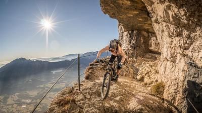
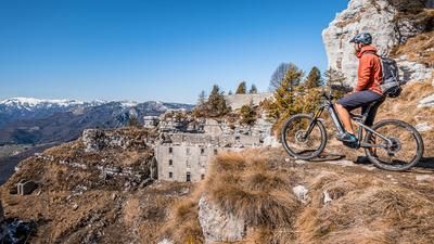
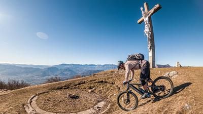
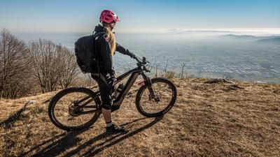
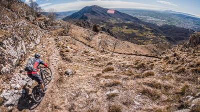
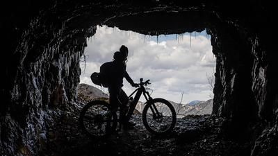
The starting point is Arsiero. From here, the route takes a relaxed route on minor roads and briefly on the main road with varying surfaces northwards to Barcarola. From Barcarola, take the former road or military road uphill towards Tonezza del Cimone. The road is somewhat dilapidated in places, but is perfect for the ascent. The route then heads south along the ridge and offers excellent views of the Val d'Astico and the surrounding mountain ridges. It ends at 1226 meters above sea level. Here you have reached Monte Cimone with its monument. The best views can be enjoyed here in spring and fall. With dry air and low temperatures, these foothills of the Alps are a real treat when it comes to far-reaching views and vantage points.
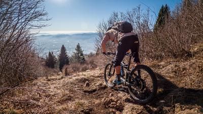
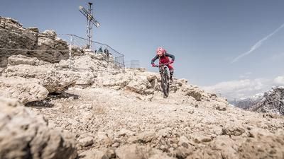
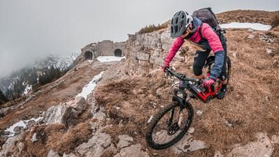
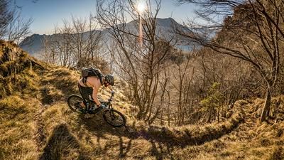
The downhill is just as much of a treat and sometimes a tough challenge. The hairpin bend trail to Arsiero offers a combination of high S3 passages and flowing sections. With changing terrain and some fixtures such as steps and steep stairs, full concentration is required here. The loose limestone does not make the descent any easier. After almost 900 Elevation loss, you reach the valley floor again at Arsiero.
Map & GPX-Track
The map is only available to Ride subscribers.
The Ride-Subscription is available at ride-mtb.com/abo
.
Details of the tour
23 km
920 m
920 m
285 above sea level
1185 above sea level
1 day
Arsiero
Arsiero
3057
well suited
More information
More tours nearby









User comments (0)

About the author: Martin Depauli
Note: This content has been automatically translated from German. Please report any incorrect translations.