

Monte Rozzo Covole

Description
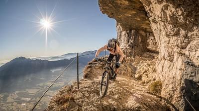
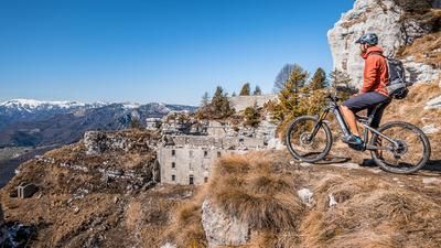
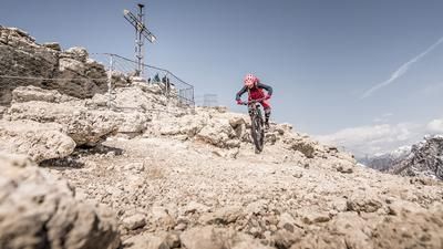
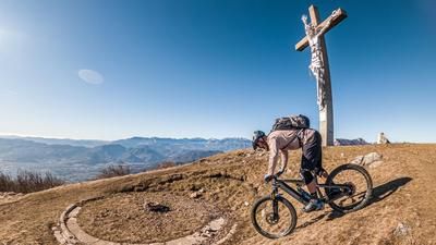
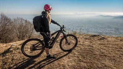
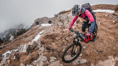
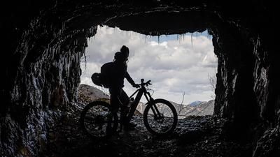
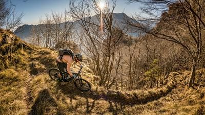
The starting point is the small but idyllic village of Santorso near Schio. From here, it's a relaxed ride on asphalt up the southern slopes towards San Rocco. San Rocco is a small hamlet, idyllically situated at an altitude of around 700 meters above sea level and already offers a magnificent view towards Venice and Veneto. The route continues towards Próveste on asphalt and later on the military road on gravel steadily uphill. Finally, you come to a fork in the road where you turn right to Cima Summano and then left along a mule track from the First World War to Monte Rozzo Covole. From here, pedaling with a biobike is only possible in sections. It's a different story with an e-bike. With good uphill riding technique, almost 90 percent of the trail can be ridden here. The route, which was chosen for these paths during the war, is also breathtaking in combination with countless lost places. The last hairpin bends in particular offer magnificent views and countless photo spots. At the summit cross, there is a panorama that is second to none.
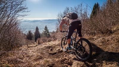
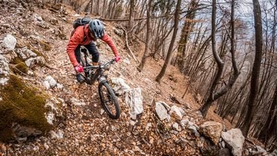
The trail descent is also excellent. In difficulty levels S1 to S2, the uphill variant leads back down to above the Strada del Colletto. Then cross the slope and take the Direttissima trail towards Velo d'Astico. The difficulty level here is similar to the summit trail. In the meantime, there are a few meters on a forest road. In Velo d'Astico, take the cycle path and pedal back to the starting point in a relaxed manner.
Map & GPX-Track
The map is only available to Ride subscribers.
The Ride-Subscription is available at ride-mtb.com/abo
.
Details of the tour
33 km
1015 m
105 m
208 above sea level
1168 above sea level
1 day
Santorso
Santorso
2876
limited
More information
More tours nearby








User comments (0)

About the author: Martin Depauli
Note: This content has been automatically translated from German. Please report any incorrect translations.