

Forte Campolongo

Description
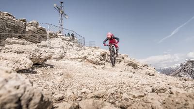
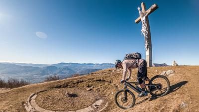
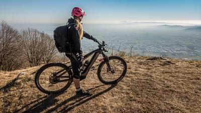
The tour starts in the village of Pedescala in the Valle dell'Astico. From here, the route climbs steadily uphill on quiet side roads on asphalt along the River Astico to the former military road via La Costa. Lonely and far away from any tourism, you pedal in a relaxed manner towards Castelletto/Asiago. Once you reach the western part of the Asiago plateau, you are treated to a breathtaking panoramic view. The route then continues briefly on the main road, before you once again pedal steadily uphill along a military road from the First World War, the Prima Strada Militare, before climbing the last few meters to the highest point of the tour, Forte Campolongo, at the height of Monte Erio. The uphill outside the tarmac area is a little rough and long in places, but the finish is absolutely worth seeing. It's unbelievable what was built in this area during the First World War. There are some similarities with Monte Chaberton, as is the panoramic view. In the south as far as the Mediterranean, in the north as far as the Ötztal Alps is possible with good visibility and dry air.
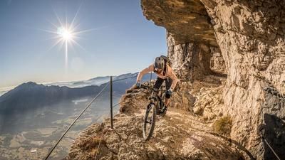
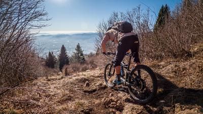
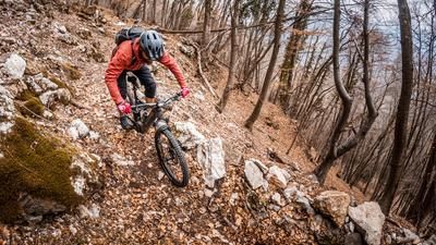
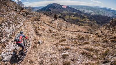
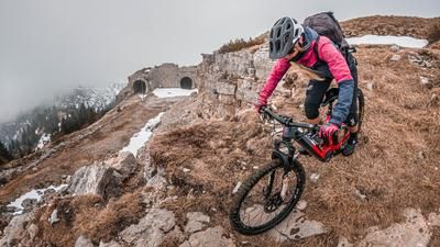
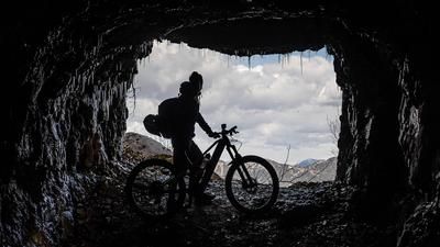
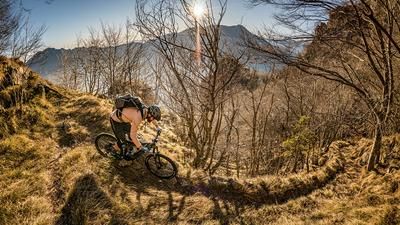
Starting on difficulty S2 and S3, the descent takes you past a huge tunnel/cave system before you arrive back at the Rifugio Campolongo. Then you roll off this and pedal up the military road again and then start another singletrail with difficulty S2 steadily downhill, which finally ends in an Alpini trail and rides with difficulty S1 to S2 down to Rotzo. In Rotzo, you rejoin the Via Roma and pedal uphill again along the military road and take a multi-terrain trail with a difficulty rating of S1, occasionally S2, at Oasi. This then rides down to Buso Banchette and down more than 20 hairpin bends to the starting point. The last trail section in particular is breathtaking and a masterpiece of engineering.
Map & GPX-Track
The map is only available to Ride subscribers.
The Ride-Subscription is available at ride-mtb.com/abo
.
Details of the tour
38 km
1500 m
1500 m
328 above sea level
1676 above sea level
1 day
Pedescala
Pedescala
2830
well suited
More information
More tours nearby









User comments (1)

About the author: Martin Depauli
Note: This content has been automatically translated from German. Please report any incorrect translations.
Schöne Tour mit entspannter Auffahrt (ich bin die Autostraße hochgefahren, Ende März war da unter der Woche so gut wie kein Verkehr). Abfahrt relativ einfach. Das Forte ist echt beeindruckend! Nur stimmt der Track nicht mit der Beschreibung überein – das «und tretet abermals die Militärstrasse hinauf…» fehlt im Track.