

Forte Campomolon

Description
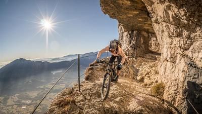
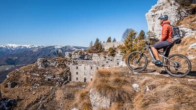
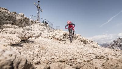
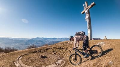
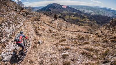
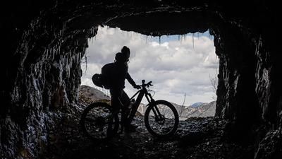
The tour starts in the Valle d'Astico just above Arsiero. An old, now asphalted military road serves as the ascent. A few hairpin bends take you upwards and the uphill is very lonely and calming. Below Canale, you join the main road and wind your way through the residential area along the plateau towards Passo della Vena di Sopra. Here you take the former military road south of Monte Melignone and have a fine, small singletrail section as an uphill. The route continues on asphalt again to Forcella Valbona. From there, you pedal along a very impressive military road on gravel to below the Forte Campomolon. The last few meters have to be mastered by pushing before you reach the summit. The extreme architectural style and the extreme view are classic for First World War installations of this size, as they were used for defensive purposes. On the summit plateau itself, there is enough space for a pleasant rest before the downhill begins.
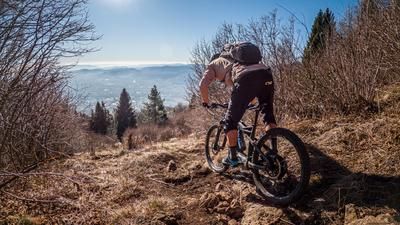
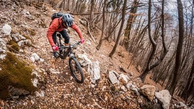
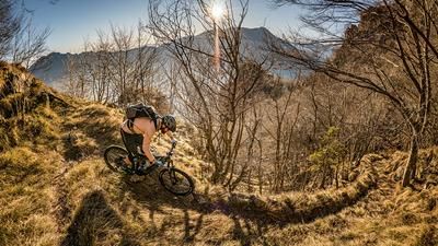
At the start, you are immediately thrown in at the deep end. On difficulty level S2, occasionally S3, you descend an old path to the road. The bike has to be taken off for a short time, as the entrance to the asphalt road is secured. You roll down this for a short time and then come across the trail cutters on the uphill section again and turn onto a singletrail at the Passo della Vena di Sotto. This is peppered with countless hairpin bends and some significant key sections, difficulty S3 to S4. The route continues through the beech forests towards Tonezza del Cimone and then down a singletrail with a difficulty of S2, occasionally S3, to the starting point in Valle d'Astico.
Map & GPX-Track
The map is only available to Ride subscribers.
The Ride-Subscription is available at ride-mtb.com/abo
.
Details of the tour
38 km
1595 m
1595 m
305 above sea level
1798 above sea level
1 day
Barcarola
Barcarola
3049
well suited
More information
More tours nearby









User comments (0)

About the author: Martin Depauli
Note: This content has been automatically translated from German. Please report any incorrect translations.