

Mont Paù - Capitello di Costola

Description
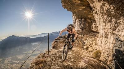
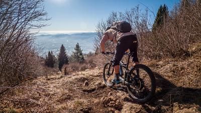
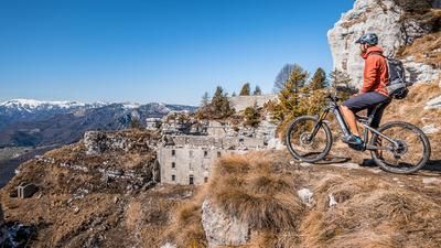
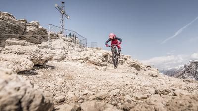
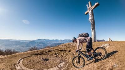
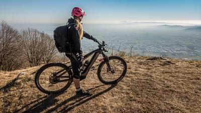
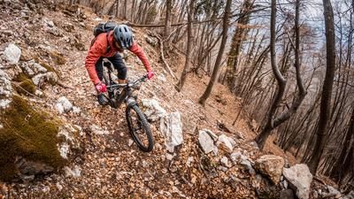
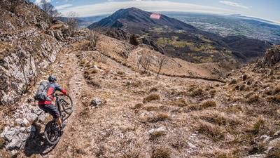
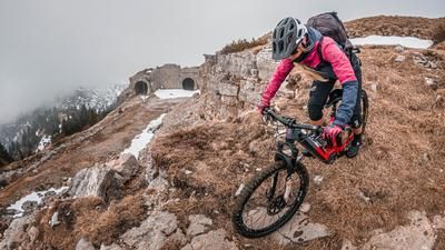
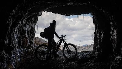
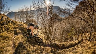
The tour starts in the small village of Cogollo del Cengio. From here, the military road first leads uphill on asphalt and then on gravel towards Campiello at a moderate gradient. From here you briefly cross the main road and take the path towards Malga Ceresana and then the last few meters on a military road to the Cima del Gallo ridge crossing (1417 meters above sea level). The summit crossing itself is an old military road, which today offers a perfect panoramic crossing for alpine mountain bikers. Along the southern flank of the mountain, you can enjoy an extremely wide view in the direction of the Veneto region, before you turn off on difficulty levels S1 to S2 as far as the Bocchetta di Paù. From here, take the traverse towards Capitello di Costola. On difficulty levels S2 to S3, the route then descends continuously towards Caltrano along the entire ridge. On historic trails, you lose altitude meter after altitude meter and immerse yourself completely in the descent. As always, it feels like it's over far too quickly, even though you've lost a whopping 1200 Elevation loss. From Caltrano, you take the side roads back to the starting point. In the valley floor of the Val di Astico, there are plenty of places to stop for refreshments on this stretch to add a culinary highlight to the trail highlight.
Map & GPX-Track
The map is only available to Ride subscribers.
The Ride-Subscription is available at ride-mtb.com/abo
.
Details of the tour
22 km
1165 m
1165 m
267 above sea level
1362 above sea level
1 day
Cogollo del Cengio
Cogollo del Cengio
2193
well suited
More information
More tours nearby









User comments (0)

About the author: Martin Depauli
Note: This content has been automatically translated from German. Please report any incorrect translations.