

Monte Summano

Description
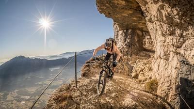
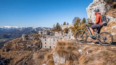
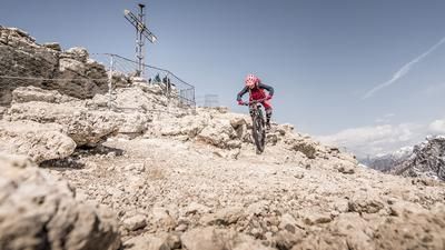
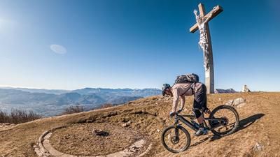
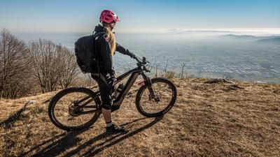
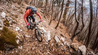
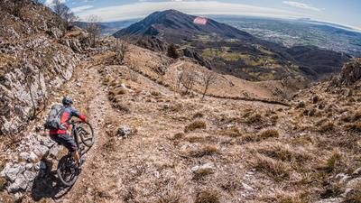
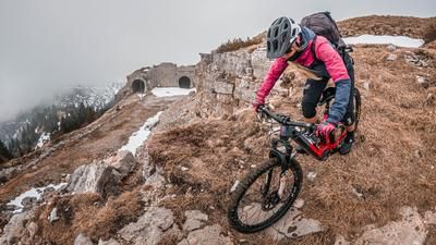
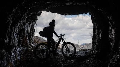
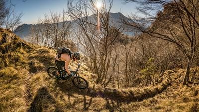
The tour starts in the small village of Santorso. From here, the route initially follows agricultural roads towards San Rocco. After San Rocco, the route winds along an old military road to just below the summit of Monte Summano. The last few meters are then covered by pedalling or pushing (depending on fitness or e-assistance) up to 1296 meters above sea level. There is a stunning panorama at the summit itself. Once you have had your fill of the panorama after what feels like ten hours of turning on your own axis, the descent gets down to business right from the start. The trail goes straight down from the summit onto the old military road with a difficulty of S3. From there along the Malga Summano, the trail continues with difficulty S3 to S4 to Pra Minore. Once here, the toughest downhill sections are over and you are spoiled for choice. A seemingly endless number of trail variants are now possible back to the starting point. Everyone can choose between technical and flowing passages and make the decision spontaneously, as the network of trails is endless. Once you arrive in Santorso, the local restaurants invite you to stop for a bite to eat. Especially recommended in spring and fall when the visibility is good, as the descent through the sparse vegetation is also a highlight.
Map & GPX-Track
The map is only available to Ride subscribers.
The Ride-Subscription is available at ride-mtb.com/abo
.
Details of the tour
22 km
1090 m
1090 m
234 above sea level
1241 above sea level
1 day
Santorso
Santorso
2194
well suited
More information
More tours nearby









User comments (0)

About the author: Martin Depauli
Note: This content has been automatically translated from German. Please report any incorrect translations.