

Monte Croce

Description
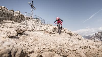
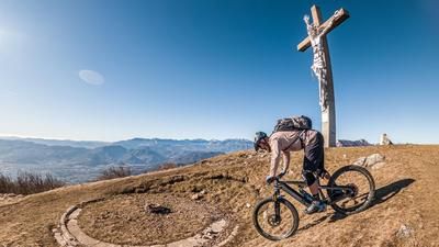
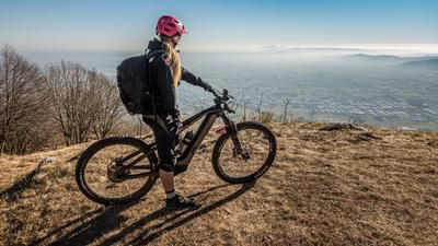
The tour starts in the small village of Cogollo del Cengio. From here, take the old military road via Costo vecchio parallel to the busy main road of Via Sette Comuni 349 towards Fondi. In the gorge section at Campiello, cross the main road briefly and take the path towards Malga Ceresana and then to the summit (1254 meters above sea level). Directly from the feeder road, you descend a few meters before you finally reach the summit cross and have a view down into the valley. In good weather and with good visibility, you can see as far as the Mediterranean!
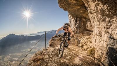
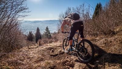
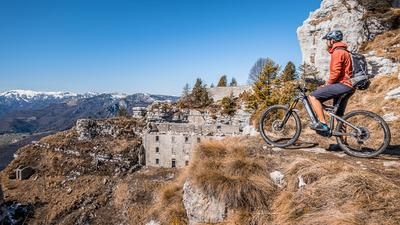
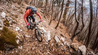
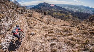
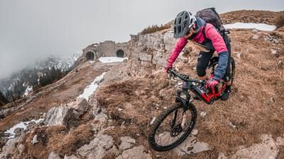
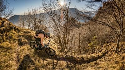
What immediately catches the eye is the trail that descends directly from the summit towards the main road. Meanwhile, a remnant from the First World War mutates into a trail highlight with a difficulty rating of S2. A seemingly endless number of hairpin bends and just as many flow passages in between take you down to Tornate 10. From here, you take the farm track and then a historic path via Ronchi to the starting point. From the farm track onwards, the difficulty is at S1 to S2 level, which makes skiing down the entire ridge a dream. Back at the starting point, there are several opportunities to stop for a bite to eat and enjoy the Italian flair. Especially in spring, autumn and winter, the tour with its southern exposure and sparse vegetation offers fantastic views and solitude deluxe.
Note: Shuttle service to the summit
Map & GPX-Track
The map is only available to Ride subscribers.
The Ride-Subscription is available at ride-mtb.com/abo
.
Details of the tour
20 km
1030 m
1030 m
301 above sea level
1252 above sea level
1 day
Cogollo del Cengio
Cogollo del Cengio
2191
well suited
More information
More tours nearby









User comments (0)

About the author: Martin Depauli
Note: This content has been automatically translated from German. Please report any incorrect translations.