

Malga Sunio

Description
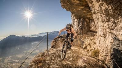
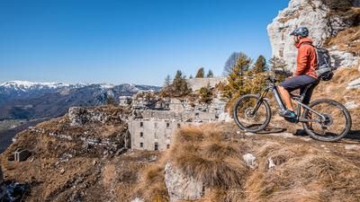
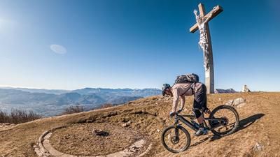
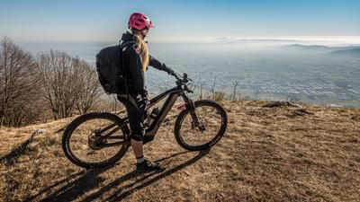
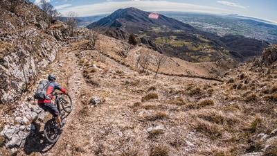
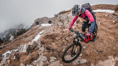
The tour starts in the small village of Caltrano near the river Astico, which flows out of the Val d'Astico. The route begins on asphalt and later on gravel, steadily uphill along a former military road. The route is very lengthy and typical for this region, passing through beech forests and reaching the first significant views over Veneto at an altitude of around 1200 meters above sea level. After that, it is no longer particularly challenging up to the highest point of the tour, before crossing the panoramic section of the military road and finally reaching Malga Sunio.
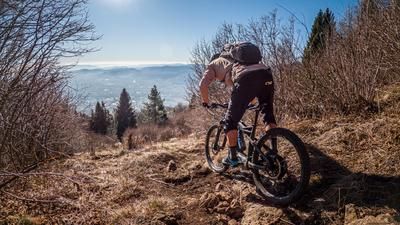
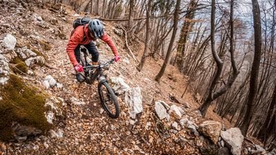
From here, the trail descent begins. A little rough at first, the trail remains at S2 level, taking into account the countless hairpin bends. Those who have a good command of offsetting will enjoy every bend here. You wind your way down the countless hairpin bends on classic gravel, which is predominant in this area, and return to the starting point in Caltrano.
Map & GPX-Track
The map is only available to Ride subscribers.
The Ride-Subscription is available at ride-mtb.com/abo
.
Details of the tour
18 km
1140 m
1140 m
226 above sea level
1369 above sea level
1 day
Caltrano
Caltrano
3108
well suited
More information
More tours nearby









User comments (0)

About the author: Martin Depauli
Note: This content has been automatically translated from German. Please report any incorrect translations.