

Monte Cengio

Description
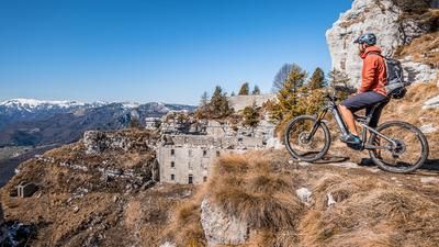
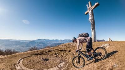
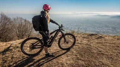
The route starts in the small village of Cogollo del Cengio. From here, you pedal along the old military road of the Strada Costo vecchio and then the military road to Piazzale Principe di Piemonte. The uphill to this point has many different variations and initially leads over an asphalt road, later over a gravel road and then over a small but rideable trail up to the high plateau. You then take the asphalt road to the Rifugio al Granatiere and the famous Chiesa dei Granatieri church. Here you realize the energy with which the infrastructure was built during the First World War. Almost every rock face contains defensive structures, trenches and Alpini trails. The route continues past the church to the summit of Monte Cengio (1354 meters above sea level). The summit itself is not wooded, giving you a stunning 360-degree panorama.
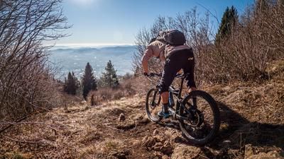
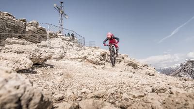
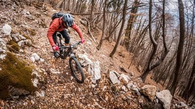
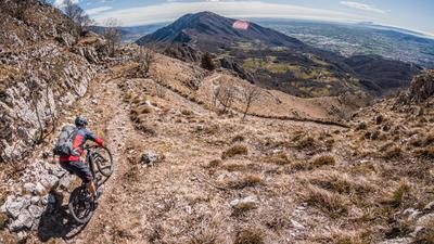
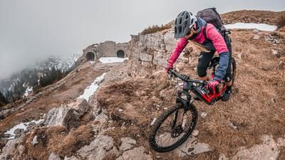
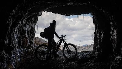
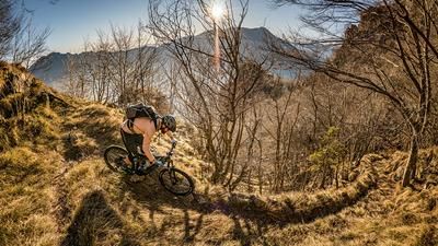
After the summit break, you descend a few meters along the ascent path, or rather the ascent route on difficulty S1 to S2. Before you reach the wide military road again, you wind your way through the First World War gallery La Galleria di Comando for a few meters. All parts of the complex have been renovated and are equipped with electric light with motion detectors, so it is not absolutely necessary to take a flashlight with you. You are then spit out a little below the summit and wind your way along a military path directly along the rocky ridge. Very exposed, but with a head for heights, you return to the Chiesa dei Granatieri on difficulty S2. From this saddle, you wind down an old military installation for a few meters in the form of a trail with difficulty levels S2 to S3 and then take Sentiero 651 towards Col Mandre. You will have to push your bike a few times here. Below the Col Mandre, the trail starts to pick up speed again and you surf an endless hairpin bend trail that rides down through tunnels and exposed places to the starting point of the tour. After what feels like an eternity and a seemingly endless number of hairpin bends, you are the winner of the day and have one of the best tours in the entire Alpine region in your pocket.
Map & GPX-Track
The map is only available to Ride subscribers.
The Ride-Subscription is available at ride-mtb.com/abo
.
Details of the tour
20 km
1115 m
1115 m
310 above sea level
1322 above sea level
1 day
Cogollo del Cengio
Cogollo del Cengio
2190
well suited
More information
More tours nearby









User comments (0)

About the author: Thomas Giger
Note: This content has been automatically translated from German. Please report any incorrect translations.