

Monte Summano – Sentiero 459

Description
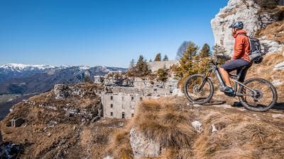
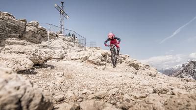
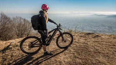
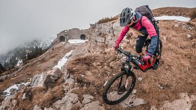
The tour starts in the small town of Santorso to the north of Vicenza. From here, the route initially follows cart tracks, later asphalt and then an old military road almost up to the summit. About 100 meters below the summit, the uphill on the wide road ends and you have to tackle the last hairpin bends on an old military road before you finally reach the summit at almost 1300 meters above sea level. There is only one word to describe the view - amazing! Especially when the visibility is good, it stretches from the Mediterranean back to the Passeier Valley with the Ötztal Alps, as well as into the Dolomites to San Martino and towards Pasubio Cima Palon. Visitors are left with an incredible impression - and the mountain's past is all the more sombre. Gun turrets were installed during the First World War and you can still see the foundations today.
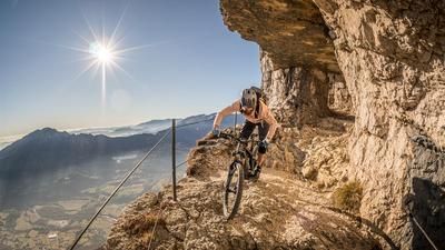
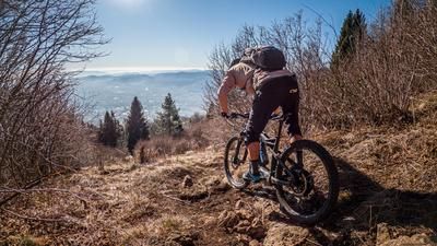
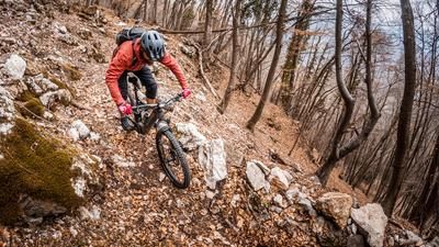
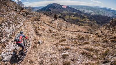
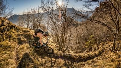
The downhill starts directly at the highest point and you can initially choose between difficulty levels S3 and S4 on the Direttissima variant and S1 on the ascent variant. The route then continues eastwards and takes an old historic path that winds its way down to Panchina Mardifaia. The ridge can be skied on difficulty S2 throughout. The panorama is magnificent, as you can always see into the lowlands towards Venezia, especially in periods of low vegetation (spring and fall). Continue in this manner until you reach the church. This is where the Sentiero del Girolimini ends. Shortly after the church with the trattoria, this path continues to the right and treats bikers to a difficulty of S1 to S2 before you are released into civilization in the village of Piovene Rocchette. From this point to the starting point in Santorso, a less frequented feeder road is taken and a short trail trimmer is built in. There are refreshment stops on the valley floor and on the tour in Baita Genzianella right next to the church of Santa Maria del Summano.
Map & GPX-Track
The map is only available to Ride subscribers.
The Ride-Subscription is available at ride-mtb.com/abo
.
Details of the tour
22 km
1090 m
1090 m
208 above sea level
1241 above sea level
1 day
Santorso
Santorso
2915
well suited
More tours nearby









User comments (1)

About the author: Martin Depauli
Note: This content has been automatically translated from German. Please report any incorrect translations.
The tour was absolutely amazing! Amazing views and a super trail!
I was also lucky with the weather. No snow on the summit and temperatures above 10 degrees in December...