

Jechl - Passo Compet

Description
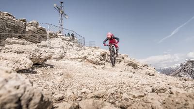
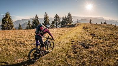
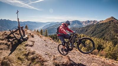
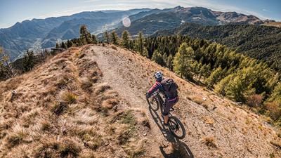
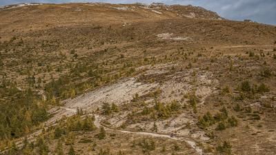
The starting point of the tour is Levico Terme. From here, you pedal steadily uphill along the pass road to Passo Compet. This distance is relatively easy to master on a pleasant gradient with nice viewpoints. From Passo Compet, take the cross road to Malga Masi. Due to the extreme windthrow in 2018, countless hectares of forest were destroyed here. As a result, some forest roads were transformed into panoramic roads, this is one of them. The route continues towards La Bassa along an old military road to Mitl. The pass or panoramic road below the Jechl/Monte Fravort end point is relatively suitable for pedaling uphill, with only a few places requiring pushing. From the Mitl pass, the bike then has to be shouldered or pushed over the ridge and old military roads to the highest point of the tour, the Jechl (2234 meters above sea level). The Jechl summit offers the best Trentino panorama and views from the Adamello group to the Mediterranean - breathtaking.
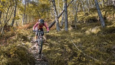
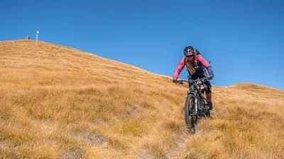
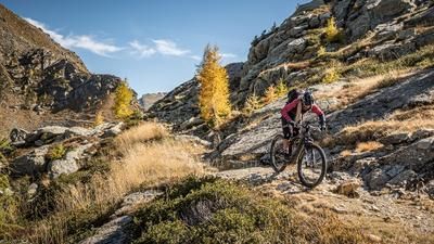
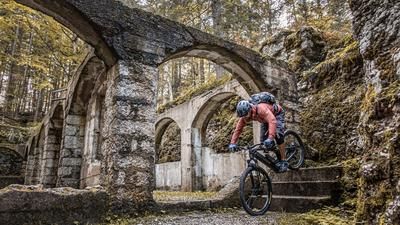
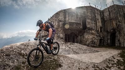
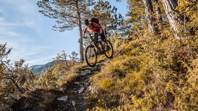
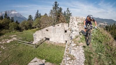
The descent from the summit is a real mix of trails. There is everything from S1 to S3 difficulty. In particular, the ridge back to the Mitl transition is relatively steep and peppered with some key sections as transitions. Then the flow section begins. You surf along an old military road to the La Bassa crossing. At La Bassa, the brakes can cool down a little and the chain can warm up. There are a few meters of ascent to the Cima Panarotta before the next trail begins. A Sentiero, which has now been repaired, leads directly to Vetriolo Terme and offers everything a biker's heart desires with difficulty S2, occasionally S3. After completing Sentiero 308, there is a short cut back towards Passo Compet before the trail highlight awaits. Another interesting mix of difficulty S1 and S2, occasionally S3, leads to Vignola and then directly under the Busa Grande to the Forte Colle delle Benne. A fantastic trail with a historical background can be completed here, a real treat. From the Forte, the route then continues with difficulty levels S2 to S3 in a hairpin bend style and then in flow with difficulty level S1 back to Levico Terme. In total, almost 2000 Elevation loss have been destroyed and a full day comes to an end. For those who want to shorten the tour, a shuttle to Passo Compet is available. It is also possible to complete the tour starting and finishing at Passo Compet.
Map & GPX-Track
The map is only available to Ride subscribers.
The Ride-Subscription is available at ride-mtb.com/abo
.
Details of the tour
38 km
1880 m
1880 m
490 above sea level
2203 above sea level
1 day
Levico Terme
Levico Terme
2610
limited
More information
More tours nearby








User comments (1)

About the author: Martin Depauli
Note: This content has been automatically translated from German. Please report any incorrect translations.
I was able to ride everything up to the last section without any problems. However, the turn-off to the summit does not correspond to the map. Instead, the path continues steeply up to the right, but is extremely difficult due to the small, slippery stones. I wasn't sure if this path actually led to the summit and eventually gave up after searching for the original GPS track again in vain.