

Cima del Fravort - Passo Compet

Description
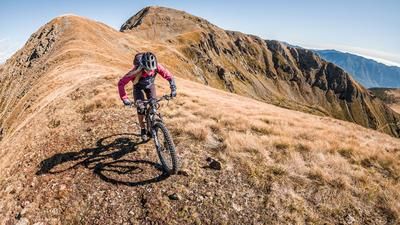
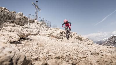
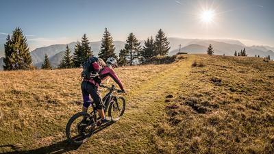
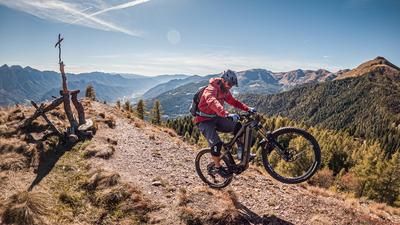
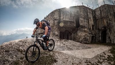
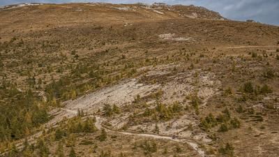
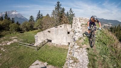
You start in Levico Terme. From here, it's a relaxed ride up the pass road to Passo Compet. Again and again, you can catch panoramic views of Lago di Levico and Lago di Caldonazzo. You then cross the panoramic road below Vetriolo Terme in the direction of Malga Masi. Due to the strong wind, magnificent views of the Valsugana Valley are possible here. From Malga Masi, the ascent to La Bassa is relatively steep. From La Bassa, you then have to push or carry your bike. Past the Prennputz via La Fontanella to the final destination of the tour, the Cima del Fravort, there are quite a few meters in altitude that have to be covered. Above the forest, however, this is relatively relaxed and varied. The summit offers a magnificent panorama, as well as some relics from the First World War.
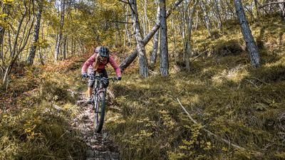
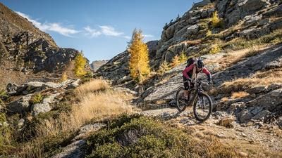
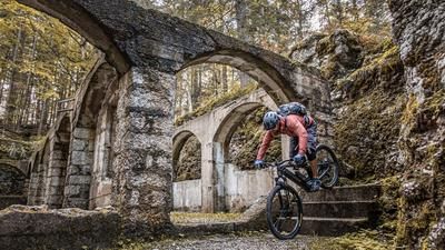
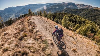
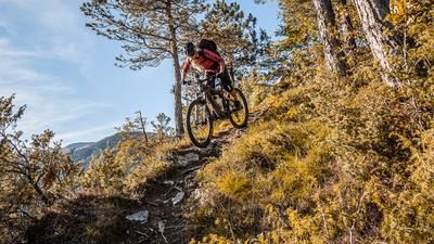
The descent is just as wonderful. At difficulty levels S1 to S2, the ascent variant leads down to La Fontanella, past the Prennputz and on to La Bassa. This section alone is legendary and a dream in good weather and good visibility. Then comes a short traverse and a counter-climb until you then take the trail towards Vetriolo Terme. This is circled on difficulty S2, in places S3. In the meantime, the windthrow from 2018 has also been cleared up well and this section is therefore also possible again. The final section is the descent below Busa Grande. A never-ending historic mule track leads past the Forte Colle Delle Benne back to the starting point. Conclusion: All in all, one of the toughest and most downhill tours in the whole of Valsugana. You can shorten it by starting at Passo Compet and taking a shuttle to here.
Map & GPX-Track
The map is only available to Ride subscribers.
The Ride-Subscription is available at ride-mtb.com/abo
.
Details of the tour
36 km
1915 m
1915 m
496 above sea level
2277 above sea level
1 day
Levico Terme
Levico Terme
2649
limited
More information
More tours nearby










User comments (0)

About the author: Martin Depauli
Note: This content has been automatically translated from German. Please report any incorrect translations.