

Becco della Ceriola - Nordabfahrt

Description
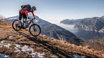
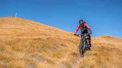
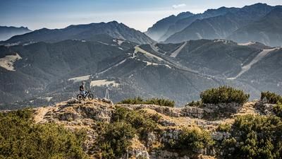
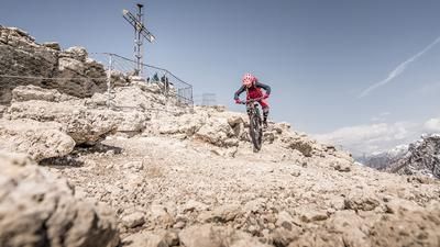
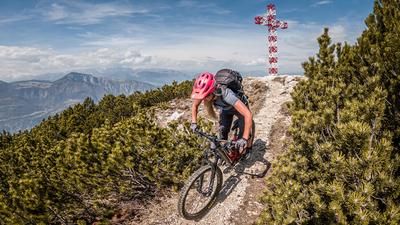
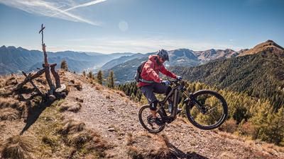
The route starts in the small town of Mattarello south of Trento. From here, you roll comfortably along the cycle path along the Adige to Besenello. Now you wind your way very steeply and mercilessly up a concrete/asphalt ramp via Maso del Pener. The gradient only becomes a little more pleasant after several hundred meters, but still remains at a high level. Once you reach Malga Palazzo, you are already above the tree line. From here, a cart track leads up to below the summit of Becco della Ceriola. Now you have to carry your bike up Sentiero 434B. At the summit (1935 meters above sea level) there is a fabulous panorama. Especially towards the north, you can see as far as the Ötztal Alps when visibility is good and the air is dry.
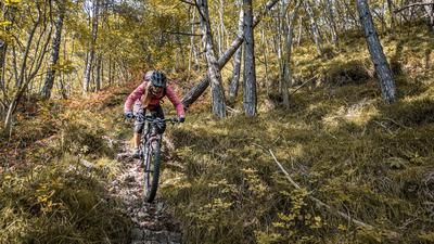
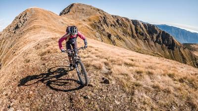
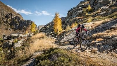
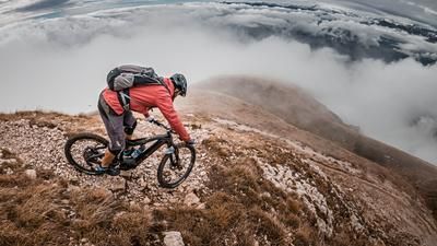
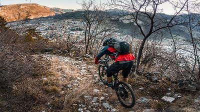
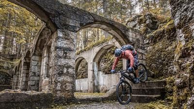
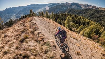
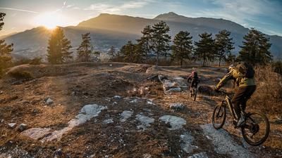
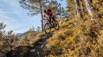
At the summit, you can already see the trail descent via Sasso dell'Aquila. Initially on Sentiero 446, the route is relatively flowy up to the saddle. Then onto Sentiero 447 and Sentiero 450 on difficulty S2 to the feeder trails. At an altitude of around 900 meters above sea level, a special trail delicacy emerges. On difficulty S1, you surf for what feels like half an eternity along a historic path. Once you arrive here, the riding level goes up again. First S2 and then the merciless finale on S2 to S3 down to the starting point.
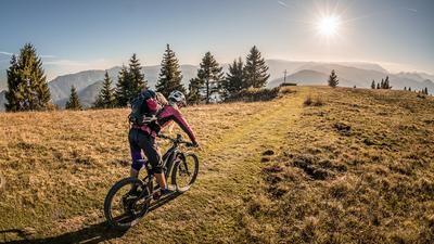
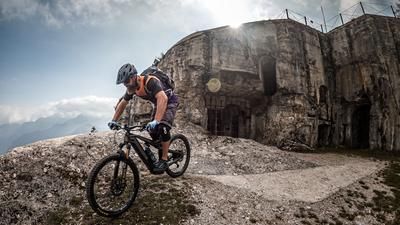
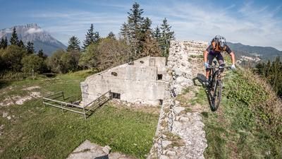
In summary, a very varied tour with a historical background (Ex Forte Fornas) and a fantastic landscape. Particularly recommended in spring and autumn, as the sparse vegetation and clear air allow for wonderful views.
Attention: Please check the current route clearance from Trento before the tour - new hiking trails and individual sections are always being closed to bikers!
Map & GPX-Track
The map is only available to Ride subscribers.
The Ride-Subscription is available at ride-mtb.com/abo
.
Details of the tour
29 km
1690 m
1690 m
183 above sea level
1876 above sea level
1 day
Mattarello
Mattarello
2531
limited
More information
More tours nearby























User comments (0)

About the author: Martin Depauli
Note: This content has been automatically translated from German. Please report any incorrect translations.