

Becco della Ceriola

Description
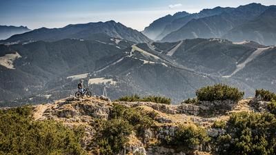
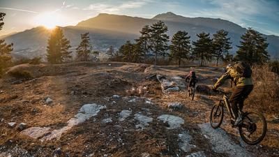
The starting point is the small village of Besenello between Trento and Rovereto. From here, the route winds extremely steeply up to Scanucieri on concrete and asphalt with a gradient of over 45 degrees. Biobikers reach their limits, while e-bikers enjoy the uphill with technical support. The route continues through the forest on a slightly gentler gradient to Malga Imprec. From Malga Imprec, the route winds along an agricultural path to just below the summit. You then continue pushing and carrying along the 434B Sentiero to the highest point of the tour at 1935 meters above sea level. A big "Wow!" escapes your lips when you reach the white/red summit cross. You are presented with a breathtaking mountain panorama that stretches as far as the main Alpine ridge and across the entire Adige Valley. Less frequented and rather unknown, the mountain can also be climbed easily and undisturbed at peak times.
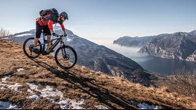
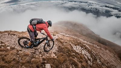
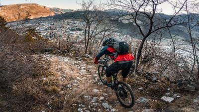
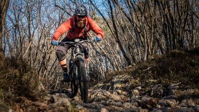
The downhill also follows the 434B Sentiero back to Malga Imprec. Initially at difficulty S2 to S3, it becomes increasingly easier and finally joins a forest path at the alpine pasture that rides towards Val di Gola. The Sentiero Val di Gola is then a little more challenging again. At difficulty level S2, the route heads downhill towards Monte Mosna directly on the ridge with breathtaking views and an exceptional single trail. With a few hairpin bends, numerous flow passages and technical sections, this is trail food deluxe. Below Monte Mosna, the route continues in the same vein along historic brick paths to Besenello. A never-ending trail finally takes you back to the small town, where Italian flair spreads through the town center. There are also places to stop for refreshments here to round off the day in comfort.
Map & GPX-Track
The map is only available to Ride subscribers.
The Ride-Subscription is available at ride-mtb.com/abo
.
Details of the tour
20 km
1660 m
1660 m
225 above sea level
1884 above sea level
1 day
Besenello
Besenello
2297
limited
More information
More tours nearby













User comments (0)

About the author: Martin Depauli
Note: This content has been automatically translated from German. Please report any incorrect translations.