

Forte Dosso del Sommo

Description
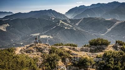
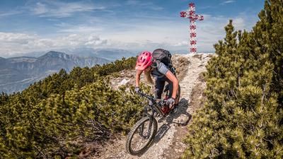
The route starts in the small village of Noriglio near Rovereto. From here, the Via Noriglio winds its way up the main road above Leno di Terragnolo on a moderate incline towards Peltreri. The approach on the road with little traffic gives you enough time to explore the surroundings and immerse yourself in a fantastic biking area. From Peltreri, the road becomes somewhat steeper and finally ends in Serrada (1250 meters above sea level). The route continues up to the Ex Forte Dosso del Sommo (1670 meters above sea level). The ascent follows an old military road and gives an epic feeling. Partly in forest sections, partly with unobstructed views of the surrounding mountains. In the absolute peace and solitude, it is hard to imagine that one of the worst wars of all time raged here over 100 years ago. It also left its mark on the Ex Forte. Once you reach the summit, you can only see fragments of it. However, you should plan a little time for an exploratory tour.
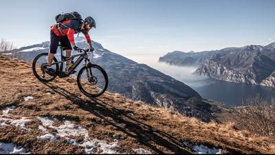
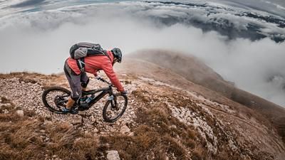
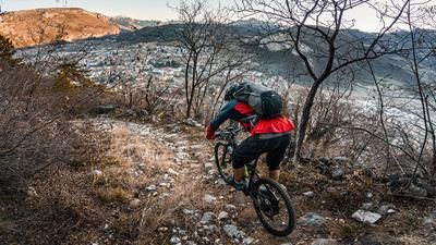
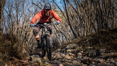
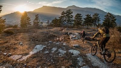
From the Ex Forte itself, the trail finally leads along the ridge on S2 to S3 level between many trenches down to Zencheri. A trail firework display of superlatives! Due to the southern orientation of the descent, you have to look for wet or slippery spots. You surf the entire ridge on historic paths in absolute dryness. The route then continues past the Santa Maria Maddalena chapel, which was built in the 17th century, back to Camperi. From Camperi, take the relaxed ascent route southwards for a few kilometers before turning left onto the main road in Perini and entering the final trail section. At an altitude of around 250 meters, there is one more creamy section to the tour, whereby this trail ends in the Ca Bianca road directly at San Nicolo. This road continues westwards to the reservoir, but here you have to push your bike uphill for a short section of around 80 meters in altitude back to the starting point in Noriglio, as the road to the valley exit has been permanently destroyed by a landslide. Conclusion: A fantastic tour in the middle of Trentino with a historical background and over six kilometers of trail.
Map & GPX-Track
The map is only available to Ride subscribers.
The Ride-Subscription is available at ride-mtb.com/abo
.
Details of the tour
37 km
1450 m
1450 m
333 above sea level
1646 above sea level
1 day
Rovereto
Rovereto
2206
well suited
More information
More tours nearby













User comments (1)

About the author: Martin Depauli
Note: This content has been automatically translated from German. Please report any incorrect translations.
We rode the tour on 19.04.24. As it was our arrival day, we shortened the tour and started at Piazza (1000 m ascent). Pleasant ascent, first on asphalt and then on gravel. And as you would expect from Martin, another brilliant trail! There are always fantastic views, especially at the Santa Maria Maddalena chapel. Also a very scenic tour.