

Cima Cornetto – Val di Gola

Description
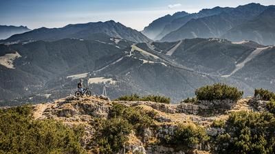
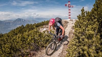
The route starts in the small village of Besenello. From here, the route winds its way via Castel Beseno and Mezzomonte to Folgaria. In this part of the Uphill, you alternate between main roads, side roads and historic paths. Shortly before Folgaria in particular, you have a view of the summit ridges and the surrounding mountain landscape. From Folgaria, the route becomes relatively steep for a short time up to Rifugio Paradiso (1650 meters above sea level). From Rifugio Paradiso you have to push or carry. The remaining 400 meters to the summit can only be reached this way. At the top, you come across an old First World War military installation. The precision and thought that went into carving the buildings into the mountain is breathtaking. Once you reach over 2000 meters above sea level, it feels like you have the whole of Italy at your feet. A breathtaking all-round panorama of the Valsugana and the Adamello Brenta group and, on a clear day, a view of the main Alpine ridge.
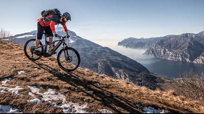
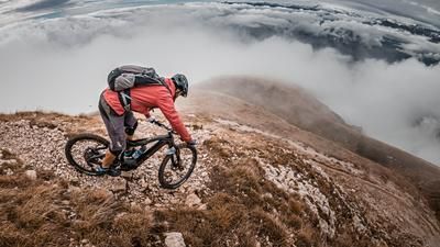
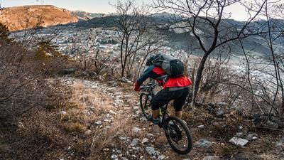
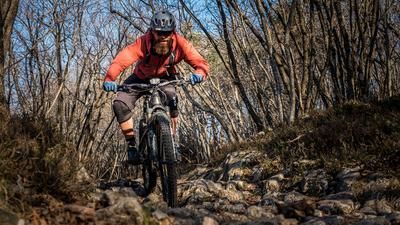
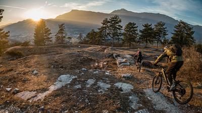
The descent initially follows the ascent variant on difficulty S2 to S3 below the summit heading north on an old military path. Continue on difficulty S2 to Pozza Arionda. The route now rides past alpine pastures and then briefly along a forest road before turning off under Monte Spizom onto a historic path towards Maso dei Saiani, or parallel to the Val di Gola on a trail of difficulty S2 with individual S3 sections. In some sections, the vegetation repeatedly gives way to sparse forest areas and there are endless views of the depths. However, concentration should not be neglected, as there are always technical passages with a risk of falling off the trail. The last 100 Elevation loss are also circled on difficulty S2 and S3 level towards Besenello. Once you arrive in Besenello, you feel pretty exhausted. The 1800 Elevation loss downhill can be felt in the body and, together with the relatively demanding descent, is also a mental challenge.
Map & GPX-Track
The map is only available to Ride subscribers.
The Ride-Subscription is available at ride-mtb.com/abo
.
Details of the tour
27 km
1810 m
1810 m
220 above sea level
2013 above sea level
1 day
Besenello
Besenello
2301
limited
More information
More tours nearby













User comments (0)

About the author: Martin Depauli
Note: This content has been automatically translated from German. Please report any incorrect translations.