

Cima Carega – Passo Buole

Description
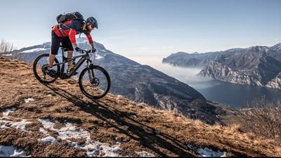
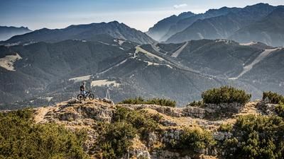
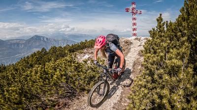
The route starts between Santa Margherita and Ala, south of Rovereto. From here, the route initially follows the valley floor and then an old military road over the Cima Perobia ridge. The view gets better with every meter you climb, and already on the crossing above Buson di Perobia you get fabulous views down to the valley floor of the Adige. At around 1500 meters above sea level, you reach a junction where you push up an Alpini trail for around 150 meters. In the meantime, some sections are relatively easy to ride for e-bikers. You then cross the Cima Levante over a distance of around one kilometer. Here, the path is somewhat dilapidated in some places, but is easily passable. Once you reach the rest area, you already have a clear view of the Capanna Sinel and the rest of the ascent. A fantastic single trail is covered here by pedaling or pushing towards Capanna Sinel. At an altitude of around 2000 meters above sea level, you are rewarded with a large basin and an open space that offers fabulous views. The route then continues in the same manner to the Rifugio Fraccaroli below the Cima Carega. Once you reach the saddle at the Rifugio, there is no more pushing and carrying. The summit of Cima Carega can only be reached on foot. The summit itself was heavily fortified during the First World War. Ascending it, there are far-reaching views from the main Alpine ridge to the Adriatic Sea - beyond words.
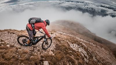
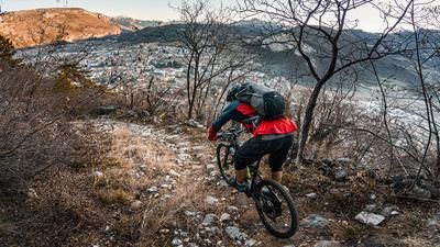
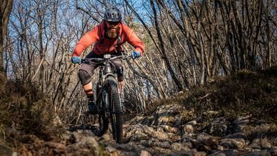
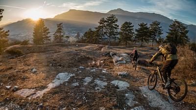
The legendary descent is just as hard to put into words. Completely on difficulty S1, occasionally S2, you surf back the entire ascent variant. A seemingly endless number of trail meters are destroyed here. Once you reach the original turning point at Malga Val di Gatto, continue along a forest road towards Passo Buole. Shortly before this, take the path on the left, where the singletrail descent awaits with an interesting mix. From difficulty S1 to S3, everything is here. In the intermediate sections, you have to cover a few meters in altitude on a forest road, but this does little to detract from the overall descent. Once you reach the valley floor, you complete the circular route. Conclusion: All in all, one of the longest and most interesting trail tours in the whole of Trentino. For good e-bike uphillers, the ascent variant is almost completely rideable, but attention must be paid to battery management.
Map & GPX-Track
The map is only available to Ride subscribers.
The Ride-Subscription is available at ride-mtb.com/abo
.
Details of the tour
44 km
2220 m
2220 m
151 above sea level
2208 above sea level
1 day
Ala
Ala
2611
well suited
More information
More tours nearby













User comments (1)

About the author: Martin Depauli
Note: This content has been automatically translated from German. Please report any incorrect translations.
Megatour, unfortunately still too much snow at the end of May! I would optimize the singletrail descent just before passo buole if at all possible, but if you like it!
I'll do it again next year - many thanks Martin for the tour!
Greetings heiko