

Chiesetta di Santa Christina

Description
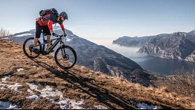
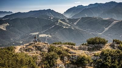
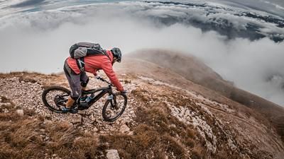
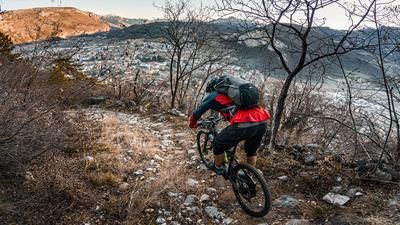
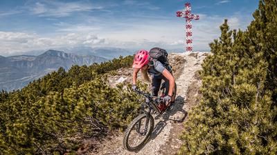
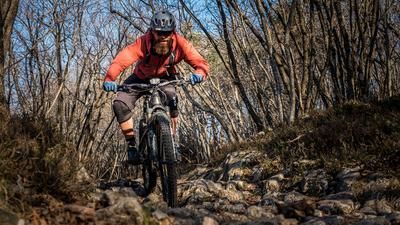
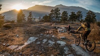
The route starts in the small village of Noriglio near Rovereto. From here, you take Via Noriglio to Peltreri, mostly with little traffic and a constant gradient. Now take the pass road towards Serrada and follow it on asphalt to the village center. Even during the ascent, as well as in areas with little woodland, a super mountain panorama spreads out and offers perfect conditions for the uphill, especially in spring and fall. From the village of Serrada itself, the route follows a military road or a historic path up to the Chiesetta di Santa Christina (1379 meters above sea level). The highest point is reached at the ruins and from now on the focus is on the downhill. Initially on S0 to S1, you surf the ascent variant downhill for almost 80 Elevation loss before taking Sentiero 16 and following it to Dieneri. Once in Dieneri, the route continues briefly on a small orgy of steps and a road crossing, and then continues on an S1 to S2 trail to Potrich. At Potrich, the trail becomes somewhat more difficult and is rated S2 to S3. This takes you to Valgrande. The historic section, or historic trail, is a real treat. Bikers' hearts beat faster due to the ruins and the routing and their enduro skills can be used to the full. In Valgrande, the route comes to an end in the meantime and you roll up the ascent variant in a relaxed manner towards the junction to Perini, where you turn left onto the Sentiero towards San Nicolo. At difficulty level S2, the route continues along a few hairpin bends with a fantastic view. From San Nicolo, follow the valley road or the valley path to the reservoir before you have to push a few meters uphill on a trail or ride uphill on an e-bike. Another ride over the Ca Bianca is not possible as a rockslide has completely destroyed the road. After completing the last uphill section, you reach the village of Noriglio again and thus conclude the tour.
Map & GPX-Track
The map is only available to Ride subscribers.
The Ride-Subscription is available at ride-mtb.com/abo
.
Details of the tour
26 km
1095 m
1095 m
333 above sea level
1293 above sea level
1 day
Rovereto
Rovereto
2203
well suited
More information
More tours nearby













User comments (0)

About the author: Martin Depauli
Note: This content has been automatically translated from German. Please report any incorrect translations.